Skip to content
Chaser Geological

Drilling history / GEONAVIGATE INDUSTRY CHATTER

Lodgepole: A Blowout, a Community, an Inquiry

The 1982 Lodgepole blowout became a test of well control, emergency communication and public trust. Follow the Nisku target, the warning signs, two fires, the deadly capping attempt, the eventual surface-control operation and the inquiry that followed. This 33-minute documentary combines Dorian’s AI narration, eight credited inquiry photographs examined as evidence, four dated contextual photographs, three clearly identified contemporary AER footage sources and original explanatory animation. The complete transcript includes chapter references, report page locators, photo credits and source links. Historical facts, conceptual diagrams and later footage are identified separately.

Recorded33:05 · measured recordingAI narration: Dorian

Prepared

THE ILLUSTRATED EPISODE

Watch the full episode

33:05 · 1080p · English captions

Full 1080p documentary with eight inquiry evidence photographs, four dated context photographs, three contemporary AER footage sources and original mechanism and timeline animations. Dorian AI narration. All sources, image credits and date qualifications accompany the illustrated transcript. AI narration: Dorian.

THE RECORDING33:05 measured duration

CHAPTER 01

A well that became a public emergency
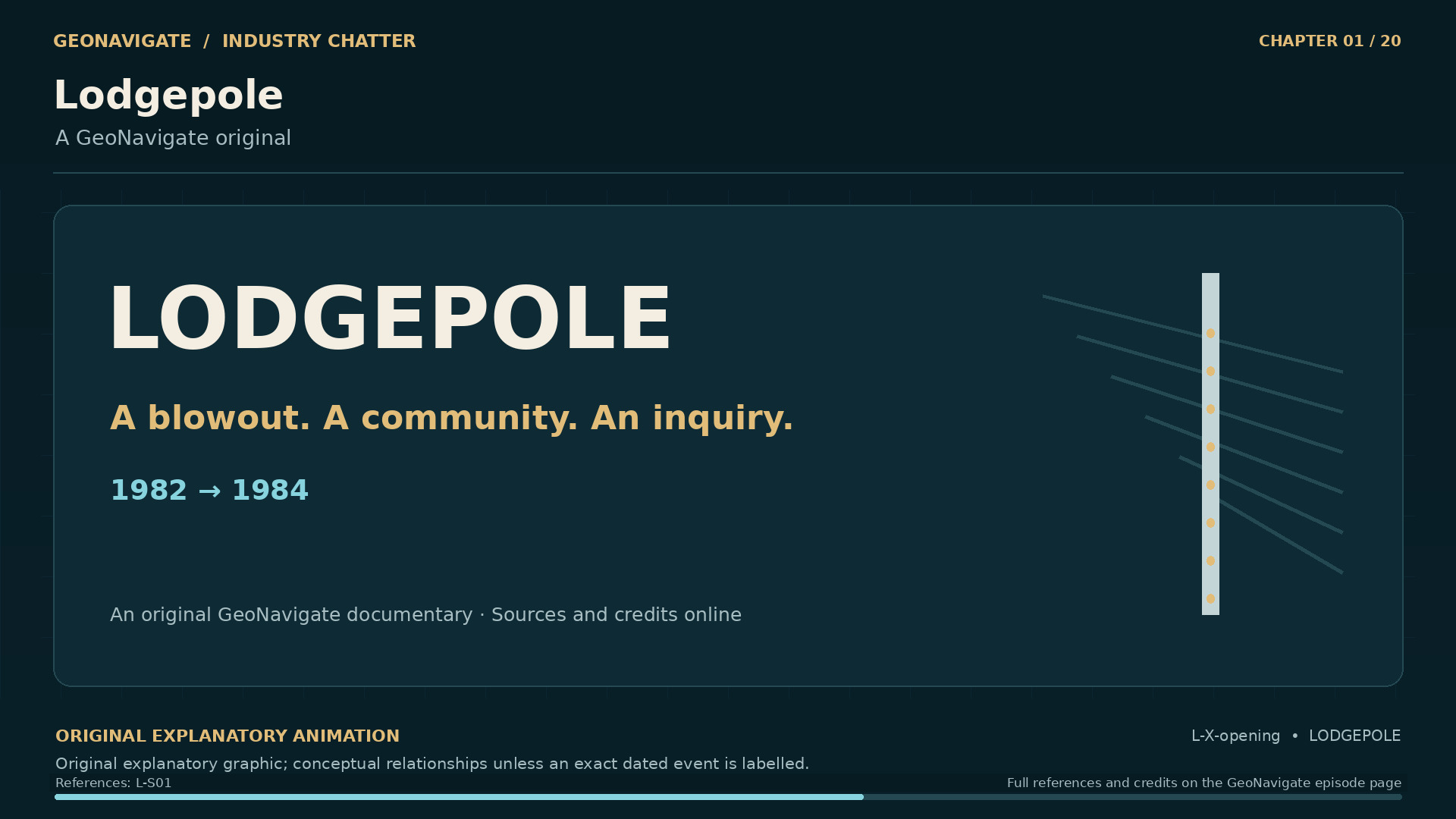
Lodgepole. A GeoNavigate original. Original conceptual illustration; cited sources provide the factual basis.
Original diagramA GeoNavigate original. Original conceptual illustration; cited sources provide the factual basis.Original GeoNavigate explanatory graphic, Chaser Geological, 2026. · Image record ↗ · Rights basis ↗
17 October 1982. The inquiry reconstructed the contributing events. Original conceptual illustration; cited sources provide the factual basis.
Original diagramThe inquiry reconstructed the contributing events. Original conceptual illustration; cited sources provide the factual basis.Original GeoNavigate explanatory graphic, Chaser Geological, 2026. · Image record ↗ · Rights basis ↗
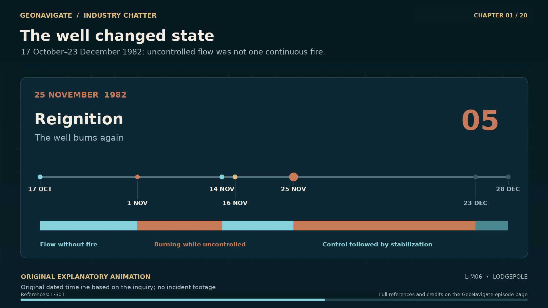
The well changed state. Original dated timeline based on the inquiry; no incident footage
Original diagramOriginal dated timeline based on the inquiry; no incident footageOriginal GeoNavigate explanatory animation, Chaser Geological, 2026. · Image record ↗ · Rights basis ↗
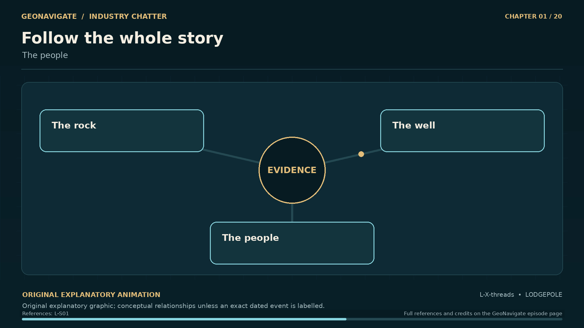
Follow the whole story. The people. Original conceptual illustration; cited sources provide the factual basis.
Original diagramThe people. Original conceptual illustration; cited sources provide the factual basis.Original GeoNavigate explanatory graphic, Chaser Geological, 2026. · Image record ↗ · Rights basis ↗
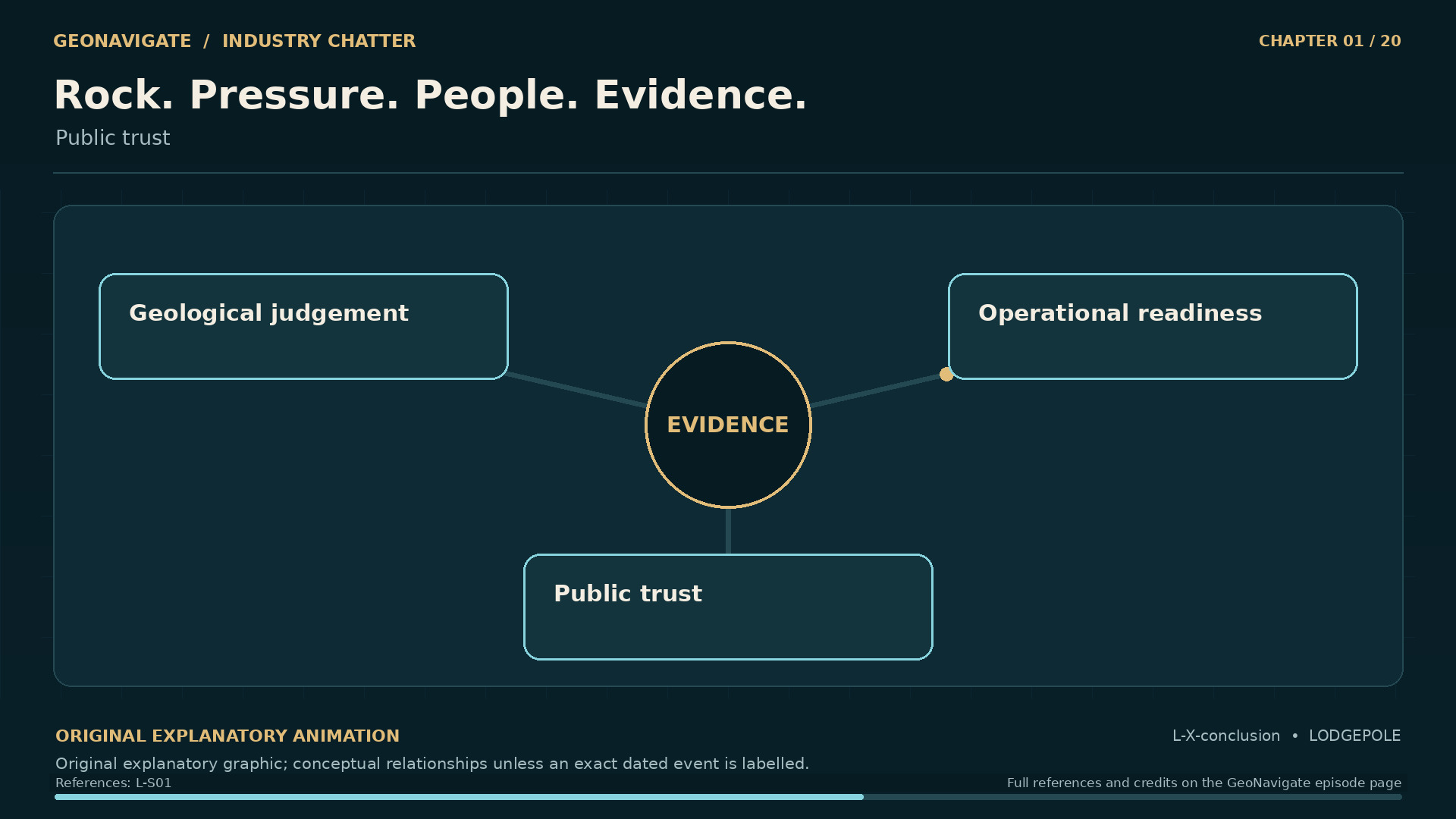
Rock. Pressure. People. Evidence.. Public trust. Original conceptual illustration; cited sources provide the factual basis.
Original diagramPublic trust. Original conceptual illustration; cited sources provide the factual basis.Original GeoNavigate explanatory graphic, Chaser Geological, 2026. · Image record ↗ · Rights basis ↗

At first, the name on the record is a well location. Amoco Dome Brazeau River, thirteen twelve. A particular place on the Alberta land survey, about twenty kilometres west of the hamlet of Lodgepole.

By the end of this story, that location will have become a question for an entire industry. What happened inside the well? Why did efforts to control it take so long? And how could the people beyond the lease get dependable answers about what was happening around them?

The well went out of control on October seventeenth, nineteen eighty-two. Control was regained on December twenty-third. Sixty-seven days separated those events.

Across those weeks, the emergency changed. Gas flowed. The well caught fire. That fire was extinguished while the flow continued. Later, the well burned again. Two men died during an attempt to cap it.

The photographs preserve moments in that sequence. A flame, a damaged rig, people dwarfed by equipment. Understanding those pictures takes us beyond what a camera could record. Down to the rock. Into the space between a drill pipe and the wall of a well. And out into a community trying to judge a danger it could not reliably see.

This is GeoNavigate Industry Chatter, produced by Chaser Geological. Narration by Dorian, an AI voice. This is Lodgepole: a blowout, a community, an inquiry.

Chapter sources2412

CHAPTER 02

Two wells, five years apart

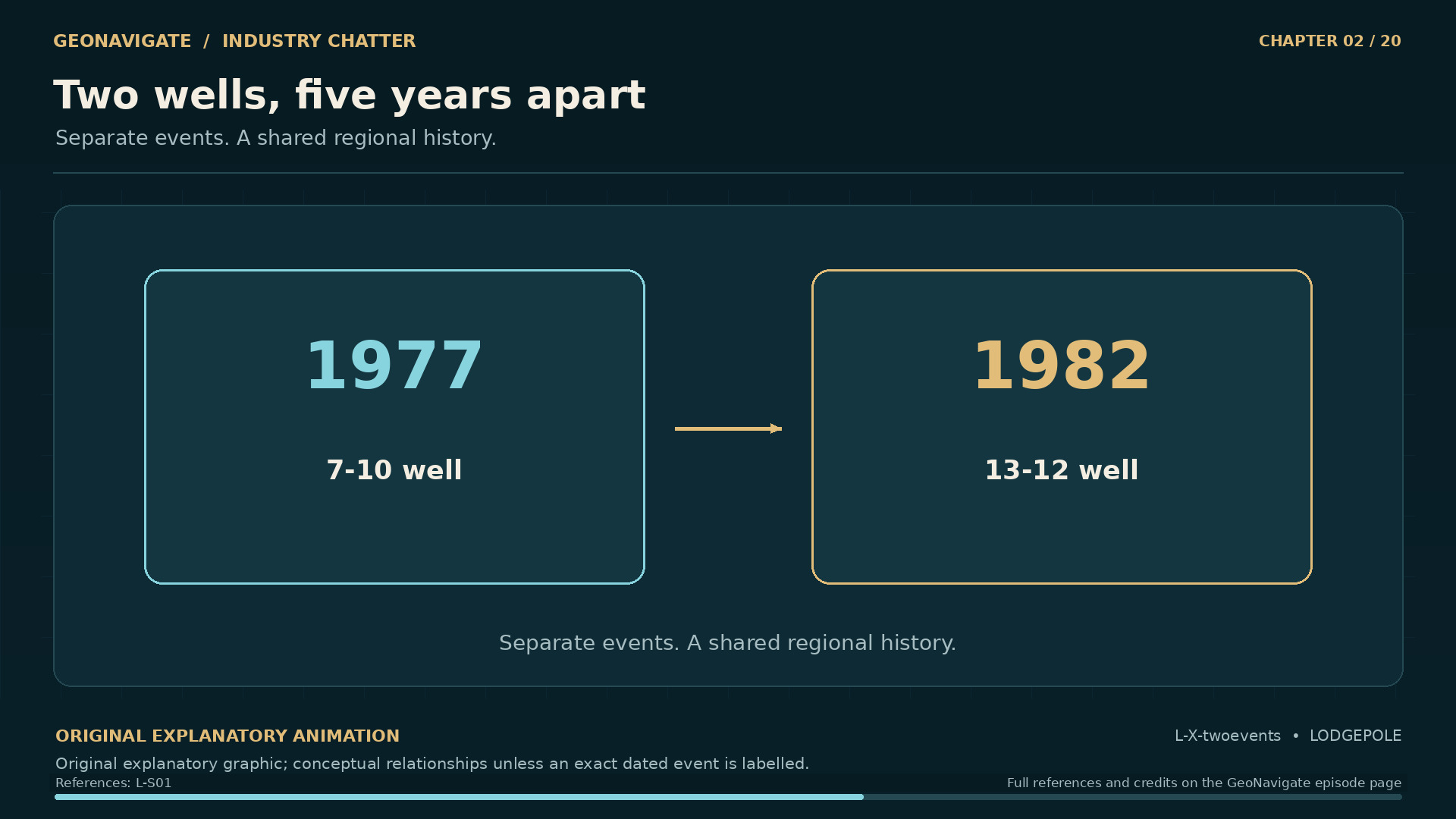
Two wells, five years apart. Separate events. A shared regional history.. Original conceptual illustration; cited sources provide the factual basis.
Original diagramSeparate events. A shared regional history.. Original conceptual illustration; cited sources provide the factual basis.Original GeoNavigate explanatory graphic, Chaser Geological, 2026. · Image record ↗ · Rights basis ↗
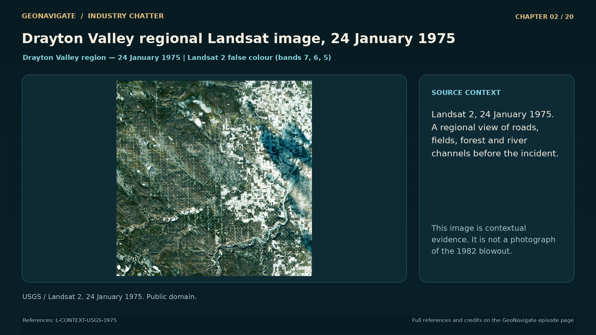
Drayton Valley regional Landsat image, 24 January 1975. Pre-incident regional oilfield infrastructure. Not a picture of the 1982 blowout, and not a georeferenced blowout-site map.
Historical imageDrayton Valley regional Landsat image, 24 January 1975. Pre-incident regional oilfield infrastructure. Not a picture of the 1982 blowout, and not a georeferenced blowout-site map.USGS / Landsat 2, 24 January 1975. Public domain. · Image record ↗ · Rights basis ↗
An image belongs to its date. 2014 community context. Original conceptual illustration; cited sources provide the factual basis.
Original diagram2014 community context. Original conceptual illustration; cited sources provide the factual basis.Original GeoNavigate explanatory graphic, Chaser Geological, 2026. · Image record ↗ · Rights basis ↗
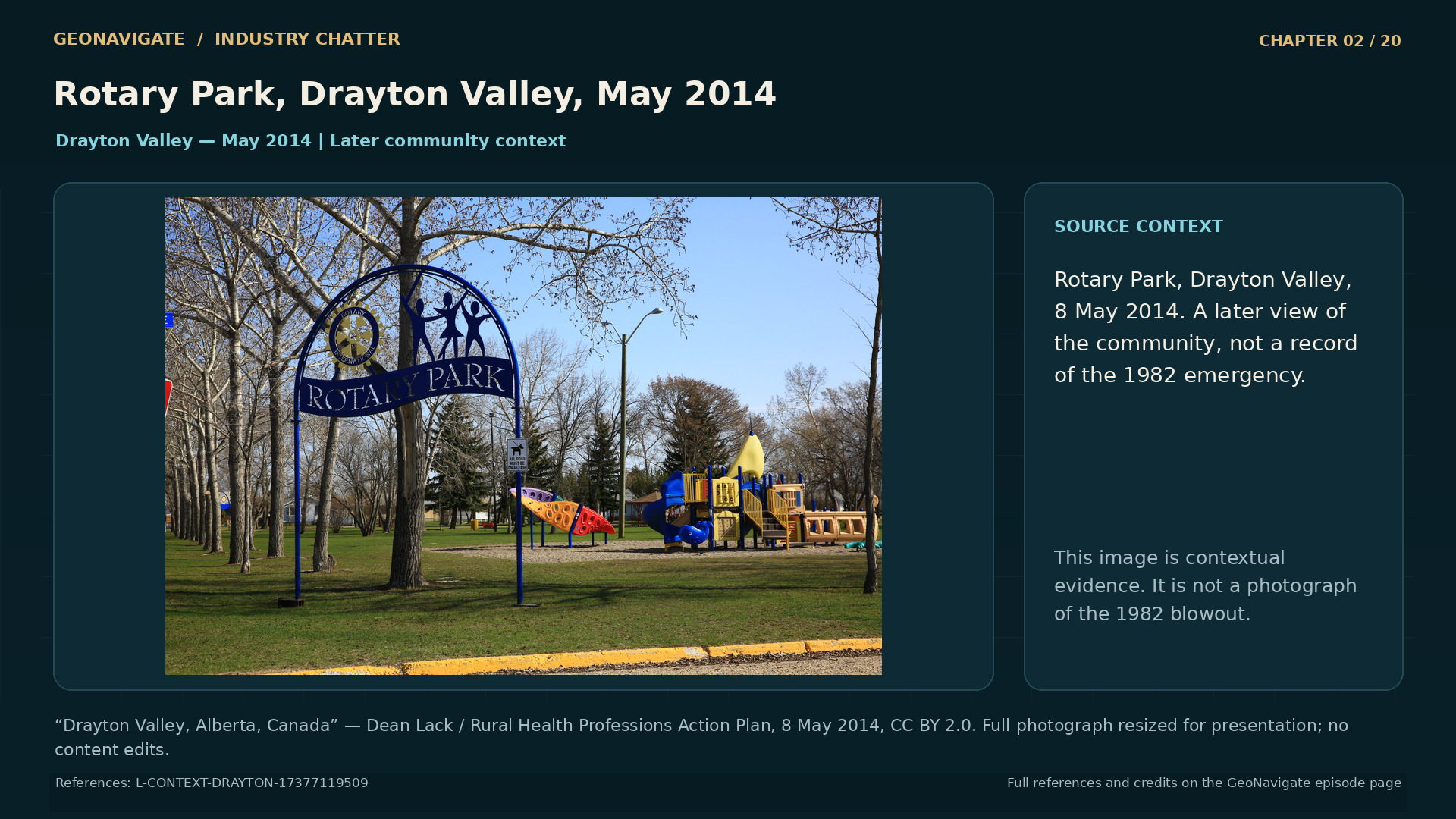
Rotary Park, Drayton Valley, May 2014. Contemporary community context only. Never present as 1982, as a depiction of affected individuals, or as evidence of specific historical health outcomes.
Modern photographRotary Park, Drayton Valley, May 2014. Contemporary community context only. Never present as 1982, as a depiction of affected individuals, or as evidence of specific historical health outcomes.“Drayton Valley, Alberta, Canada” — Dean Lack / Rural Health Professions Action Plan, 8 May 2014, CC BY 2.0. Full photograph resized for presentation; no content edits. · CC BY 2.0 · Image record ↗ · Licence ↗ · Rights basis ↗
Earlier experience shaped expectations. What was prepared. Original conceptual illustration; cited sources provide the factual basis.
Original diagramWhat was prepared. Original conceptual illustration; cited sources provide the factual basis.Original GeoNavigate explanatory graphic, Chaser Geological, 2026. · Image record ↗ · Rights basis ↗

Before going underground, there is an important distinction in the name Lodgepole. Another nearby well had blown out in nineteen seventy-seven. That well is identified in the record as seven ten. Our story concerns thirteen twelve, in nineteen eighty-two.

Those numbers matter when looking at old photographs or reading later recollections. A place name can gather several events into one memory. The record needs to keep them separate: different wells, different dates, different decisions.

The earlier blowout also belongs in the story for another reason. The inquiry considered what experience in the area should have meant for planning the later well. A previous emergency can become evidence about what is possible. Turning that evidence into preparation takes further work.

A lesson has to travel. From a report into the assumptions behind a drilling program. From those assumptions into the equipment and supplies sent to a location. From the people who experienced an earlier problem to the people making the next decision.

That journey is easy to describe after an accident. It is harder to trace beforehand. An organization can remember an event without changing the ordinary choices that determine how the next well is drilled.

This gives us one of the questions running through the Lodgepole inquiry. How should knowledge of a serious possibility affect everyday operations, especially when the expected outcome still appears more favourable?

To see why that question mattered at thirteen twelve, we need to look at the reservoir the company hoped to find.

Chapter sources251

CHAPTER 03

The reef they expected

Drayton Valley regional Landsat image, 24 January 1975. Pre-incident regional oilfield infrastructure. Not a picture of the 1982 blowout, and not a georeferenced blowout-site map.
Historical imageDrayton Valley regional Landsat image, 24 January 1975. Pre-incident regional oilfield infrastructure. Not a picture of the 1982 blowout, and not a georeferenced blowout-site map.USGS / Landsat 2, 24 January 1975. Public domain. · Image record ↗ · Rights basis ↗
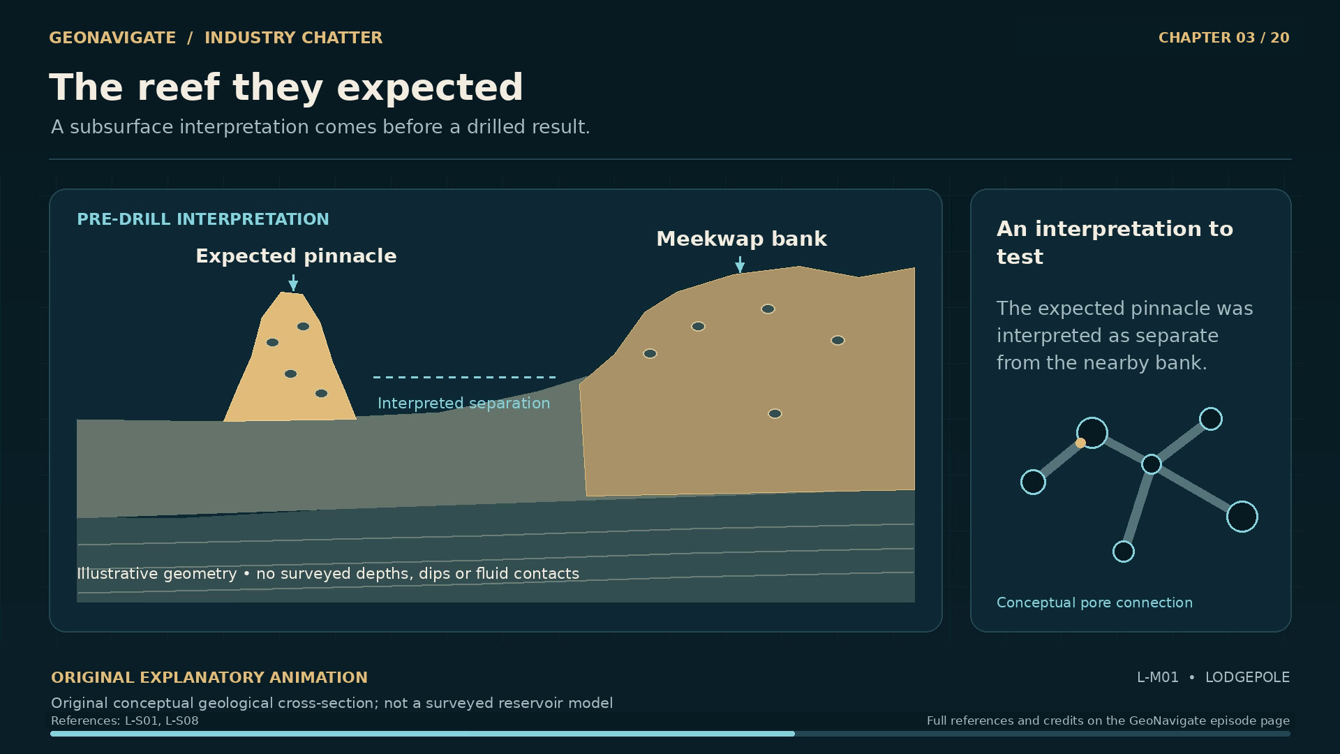
The reef they expected. Original conceptual geological cross-section; not a surveyed reservoir model
Original diagramOriginal conceptual geological cross-section; not a surveyed reservoir modelOriginal GeoNavigate explanatory animation, Chaser Geological, 2026. · Image record ↗ · Rights basis ↗
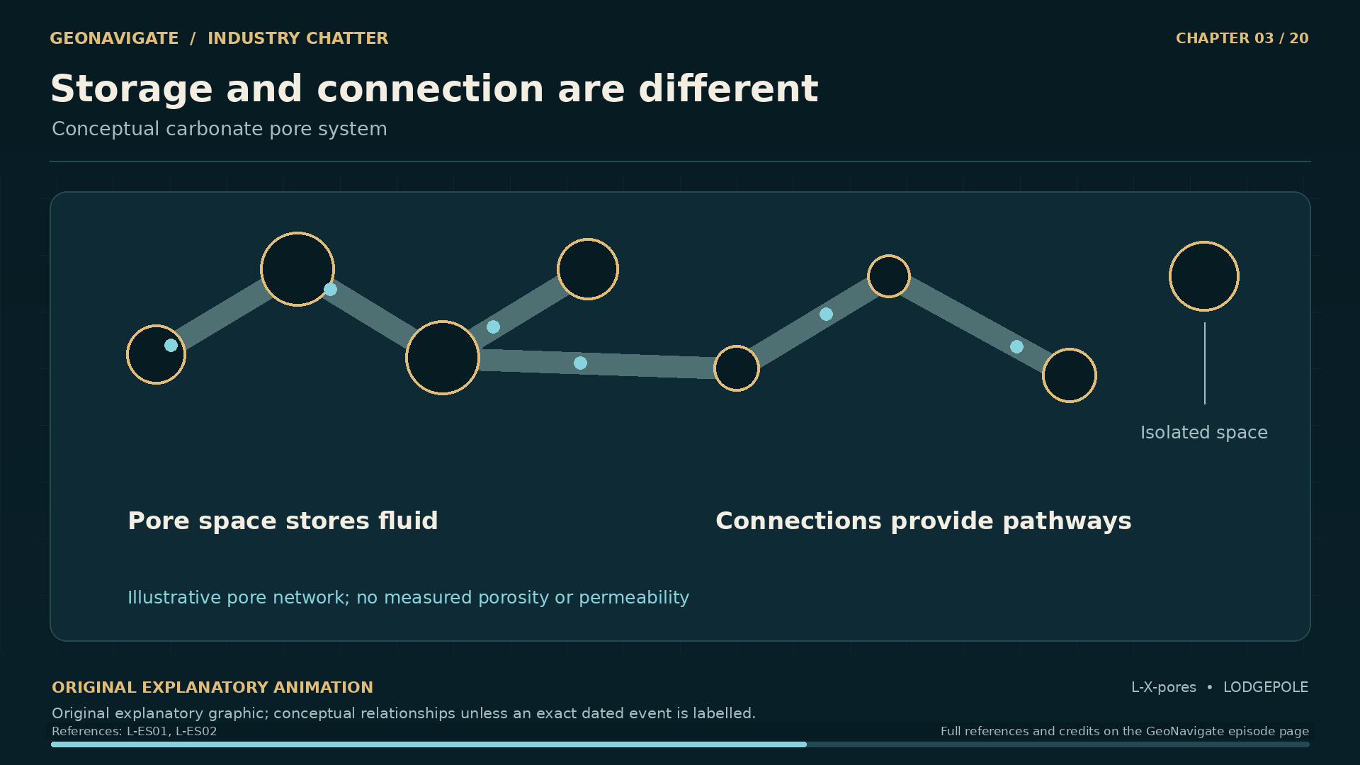
Storage and connection are different. Conceptual carbonate pore system. Original conceptual illustration; cited sources provide the factual basis.
Original diagramConceptual carbonate pore system. Original conceptual illustration; cited sources provide the factual basis.Original GeoNavigate explanatory graphic, Chaser Geological, 2026. · Image record ↗ · Rights basis ↗
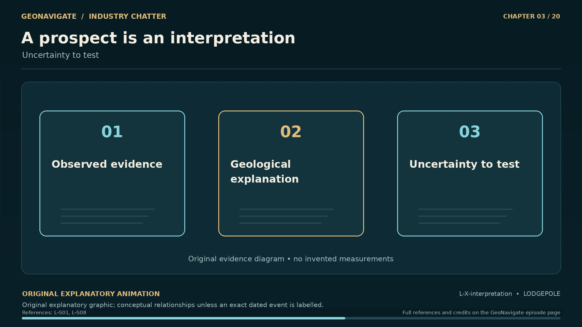
A prospect is an interpretation. Uncertainty to test. Original conceptual illustration; cited sources provide the factual basis.
Original diagramUncertainty to test. Original conceptual illustration; cited sources provide the factual basis.Original GeoNavigate explanatory graphic, Chaser Geological, 2026. · Image record ↗ · Rights basis ↗

The target was a Nisku reef. Amoco interpreted it as an isolated pinnacle near a larger carbonate bank. The company expected an oil reservoir, while recognizing that sour gas and condensate were possible.

The word reef helps describe the geological origin and shape being interpreted. It can also create a misleading picture of an underground cavern filled with petroleum. A reservoir is rock. Fluids occupy spaces within it.

Some spaces are small pores between grains or crystals. Others are larger cavities. Over geological time, burial, mineral growth, and dissolution can alter both the spaces and their connections. Research on the Nisku reservoirs of the West Pembina area describes how different histories of dolomite formation and dissolution affected their reservoir properties.

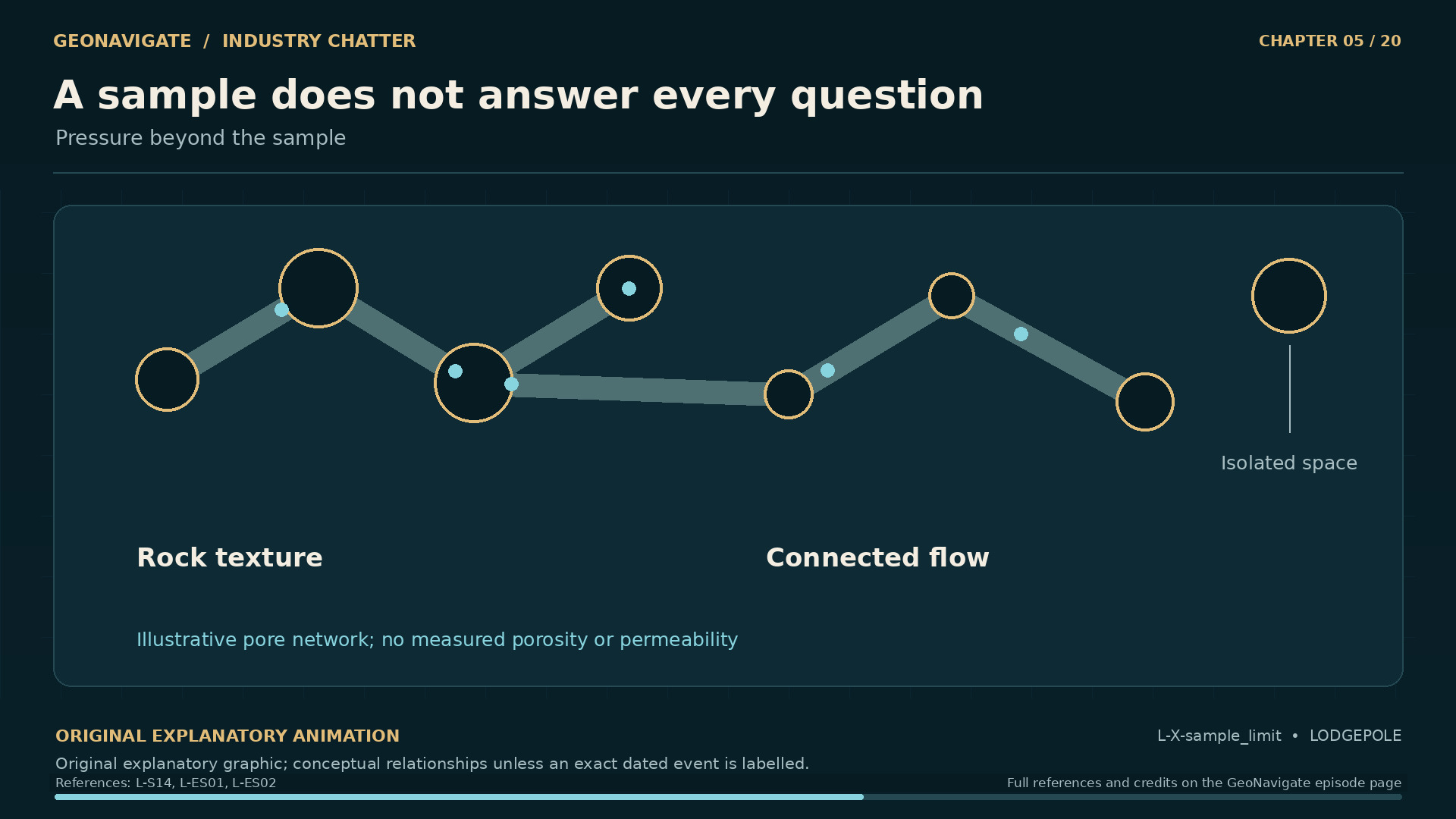
Two properties help make sense of this. Porosity describes how much of a rock's volume is pore space. Permeability describes how readily fluid can move through the rock. A sample can contain substantial empty space without offering an easy route from one side to the other. Connections matter.

Imagine rooms joined by doorways. Counting the rooms tells you something about capacity. Understanding movement requires knowing which doors connect, and how restricted they are. Real rock is more complicated, but the distinction is useful.

Seismic interpretation helps construct a picture before drilling. A core provides a small piece of physical evidence afterward. Neither gives an observer unrestricted sight of every connected pore.

At thirteen twelve, an expectation about the reservoir had to coexist with another recognized possibility. The practical question was how much that possibility should shape the operation before the well revealed more.

Chapter sources2615910

CHAPTER 04

A surface choice changes the well path

Drayton Valley regional Landsat image, 24 January 1975. Pre-incident regional oilfield infrastructure. Not a picture of the 1982 blowout, and not a georeferenced blowout-site map.
Historical imageDrayton Valley regional Landsat image, 24 January 1975. Pre-incident regional oilfield infrastructure. Not a picture of the 1982 blowout, and not a georeferenced blowout-site map.USGS / Landsat 2, 24 January 1975. Public domain. · Image record ↗ · Rights basis ↗
The reef they expected. Original conceptual geological cross-section; not a surveyed reservoir model
Original diagramOriginal conceptual geological cross-section; not a surveyed reservoir modelOriginal GeoNavigate explanatory animation, Chaser Geological, 2026. · Image record ↗ · Rights basis ↗
One well. Two different distances.. Original conceptual trajectory; not the surveyed 13-12 well
Original diagramOriginal conceptual trajectory; not the surveyed 13-12 wellOriginal GeoNavigate explanatory animation, Chaser Geological, 2026. · Image record ↗ · Rights basis ↗
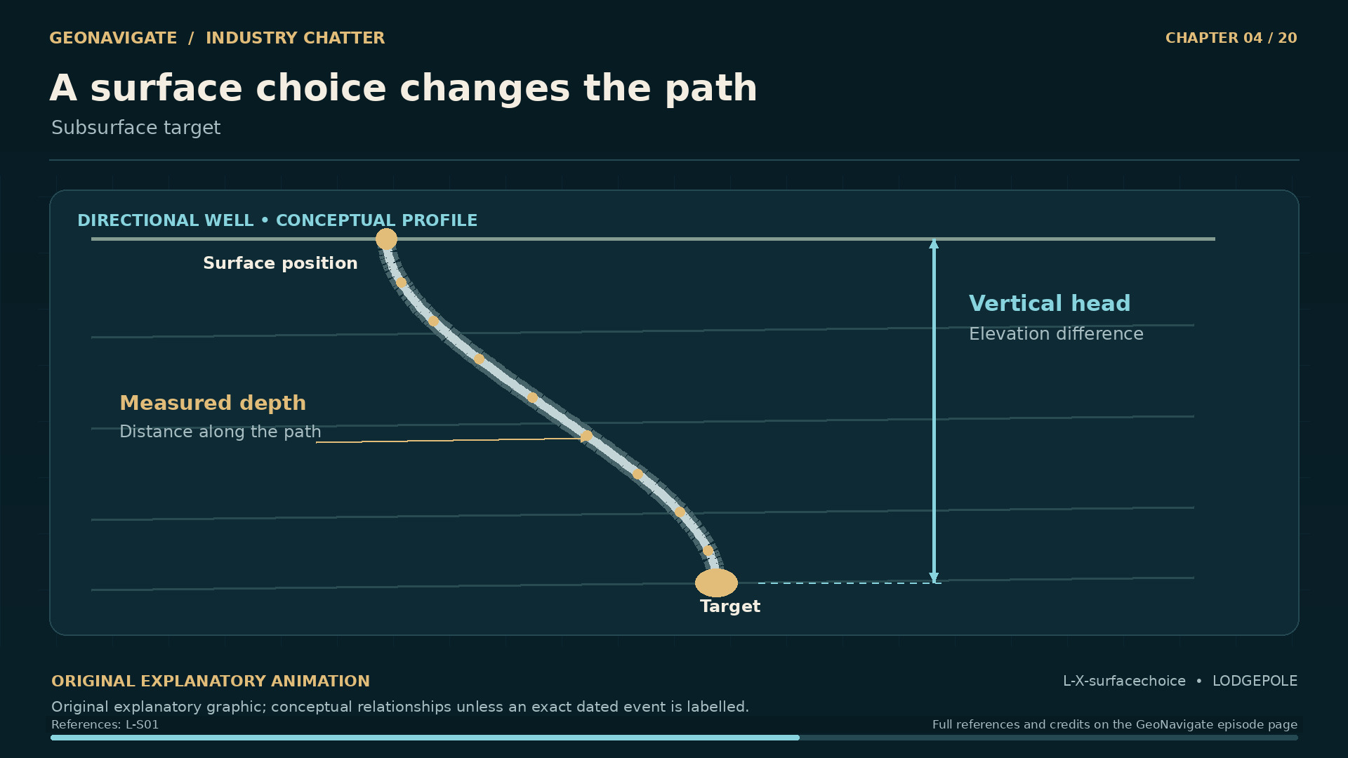
A surface choice changes the path. Subsurface target. Original conceptual illustration; cited sources provide the factual basis.
Original diagramSubsurface target. Original conceptual illustration; cited sources provide the factual basis.Original GeoNavigate explanatory graphic, Chaser Geological, 2026. · Image record ↗ · Rights basis ↗
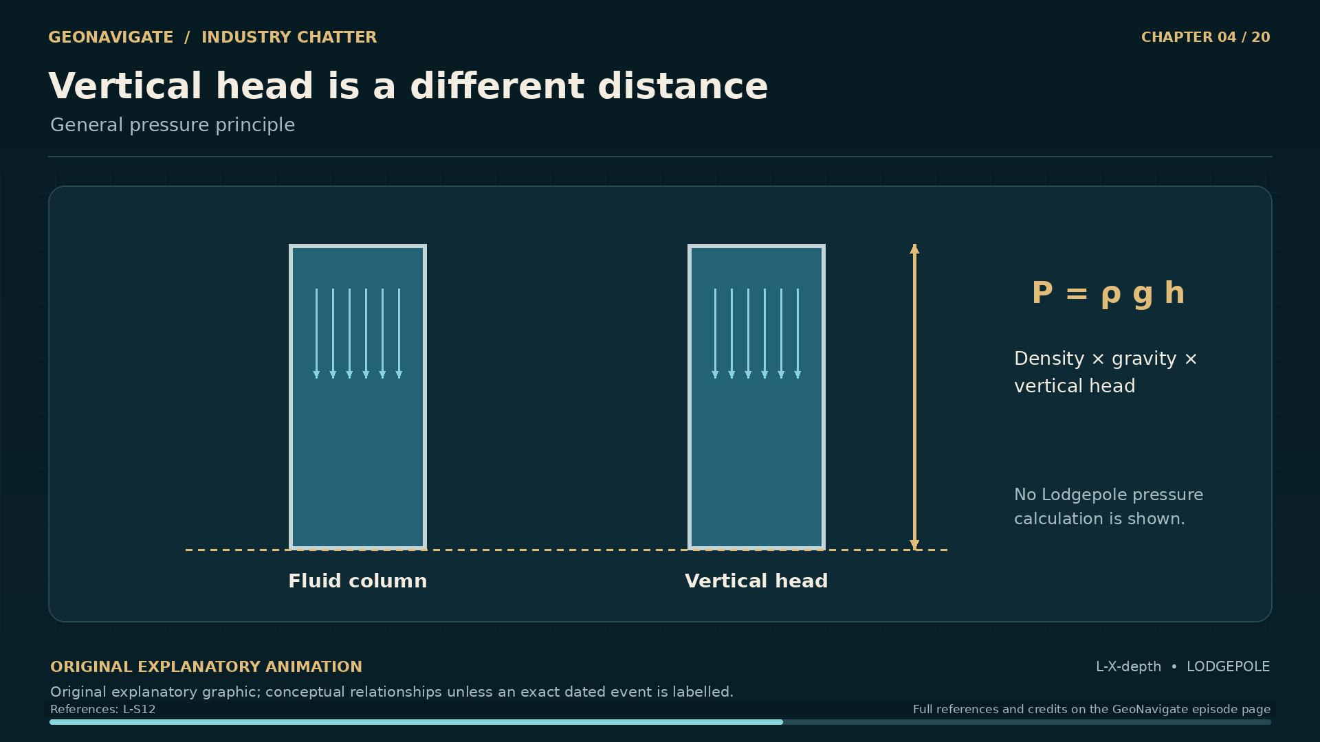
Vertical head is a different distance. General pressure principle. Original conceptual illustration; cited sources provide the factual basis.
Original diagramGeneral pressure principle. Original conceptual illustration; cited sources provide the factual basis.Original GeoNavigate explanatory graphic, Chaser Geological, 2026. · Image record ↗ · Rights basis ↗

The reservoir target and the place where the rig stood were not directly above one another. The surface location was moved because of environmental concerns near the Pembina River. The well was then drilled directionally toward its target.

On a map, the movement is between two positions. In a well, it creates a three dimensional path. A length measured along that path is different from its vertical depth below the surface.

Think of a route down a hillside. A winding road can be longer than the difference in elevation between its beginning and end. In the same way, the length of a well does not by itself tell us the height of the fluid column above a particular point.

That distinction will matter when we come to pressure. For now, it reminds us that a simple line in a diagram represents several different measurements: distance along the hole, vertical depth, and horizontal position.

The opening also needs structure. Casing is steel pipe installed in a well. Together with its surrounding cement, it can support the opening and help separate formations. Equipment at the surface must connect to this constructed well.

These are general functions, rather than a reconstruction of every component at Lodgepole. They help explain why a well is an engineered system extending through rock, with boundaries and connections that each have a purpose.

The directional path itself is not an explanation for the blowout. It is part of the setting in which the pressure, the fluid, and the equipment had to work together.

Chapter sources271612

CHAPTER 05

What came out in the core barrel

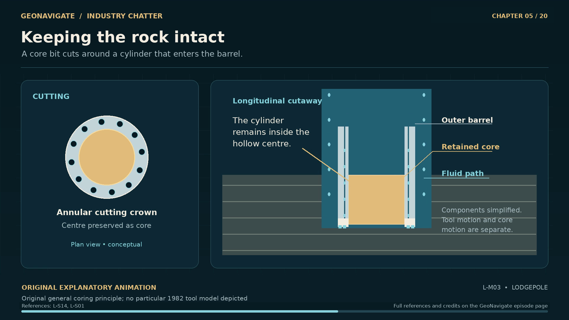
Keeping the rock intact. Original general coring principle; no particular 1982 tool model depicted
Original diagramOriginal general coring principle; no particular 1982 tool model depictedOriginal GeoNavigate explanatory animation, Chaser Geological, 2026. · Image record ↗ · Rights basis ↗
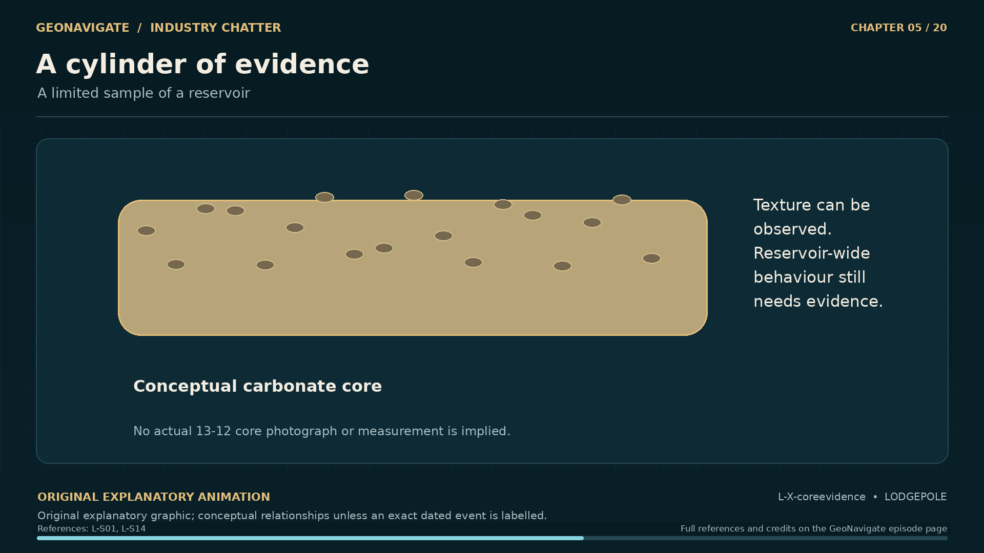
A cylinder of evidence. A limited sample of a reservoir. Original conceptual illustration; cited sources provide the factual basis.
Original diagramA limited sample of a reservoir. Original conceptual illustration; cited sources provide the factual basis.Original GeoNavigate explanatory graphic, Chaser Geological, 2026. · Image record ↗ · Rights basis ↗
A sample does not answer every question. Pressure beyond the sample. Original conceptual illustration; cited sources provide the factual basis.
Original diagramPressure beyond the sample. Original conceptual illustration; cited sources provide the factual basis.Original GeoNavigate explanatory graphic, Chaser Geological, 2026. · Image record ↗ · Rights basis ↗

In mid-October, the crew began taking core. A coring tool cuts a ring through the formation, allowing a cylinder of rock to be recovered inside a barrel.

That cylinder can preserve relationships that loose drilling fragments cannot show as clearly. Layers sit beside layers. Cavities appear within the fabric of the rock. A geologist can examine where a feature occurs, and how it relates to the material around it.

The early cores from thirteen twelve contained visible cavities. The inquiry also records the smell of hydrogen sulphide.

Each observation had meaning, but neither supplied a complete description of the reservoir. A cavity in a recovered cylinder says something about that piece of rock. It does not establish how far a connected pore system extends. An odour indicates an observation at that moment. It cannot provide a reliable measurement of the gas mixture or the concentration someone breathed.

There is a useful difference here between finding a clue and resolving a question. The core could make an earlier interpretation more complicated. It could point toward a hazard that the program had already acknowledged. Further information still had to come from the well as an operating system.

That information arrived in several forms: the behaviour of the returning drilling fluid, gas detected by the logging equipment, and pressure readings at the surface. These observations represented different parts of the same developing situation.

The crew needed to understand the rock being encountered while maintaining control of the connection they were opening into it. At Lodgepole, those two tasks were becoming inseparable.

Chapter sources28148910

CHAPTER 06

The pressure balance

One well. Two different distances.. Original conceptual trajectory; not the surveyed 13-12 well
Original diagramOriginal conceptual trajectory; not the surveyed 13-12 wellOriginal GeoNavigate explanatory animation, Chaser Geological, 2026. · Image record ↗ · Rights basis ↗
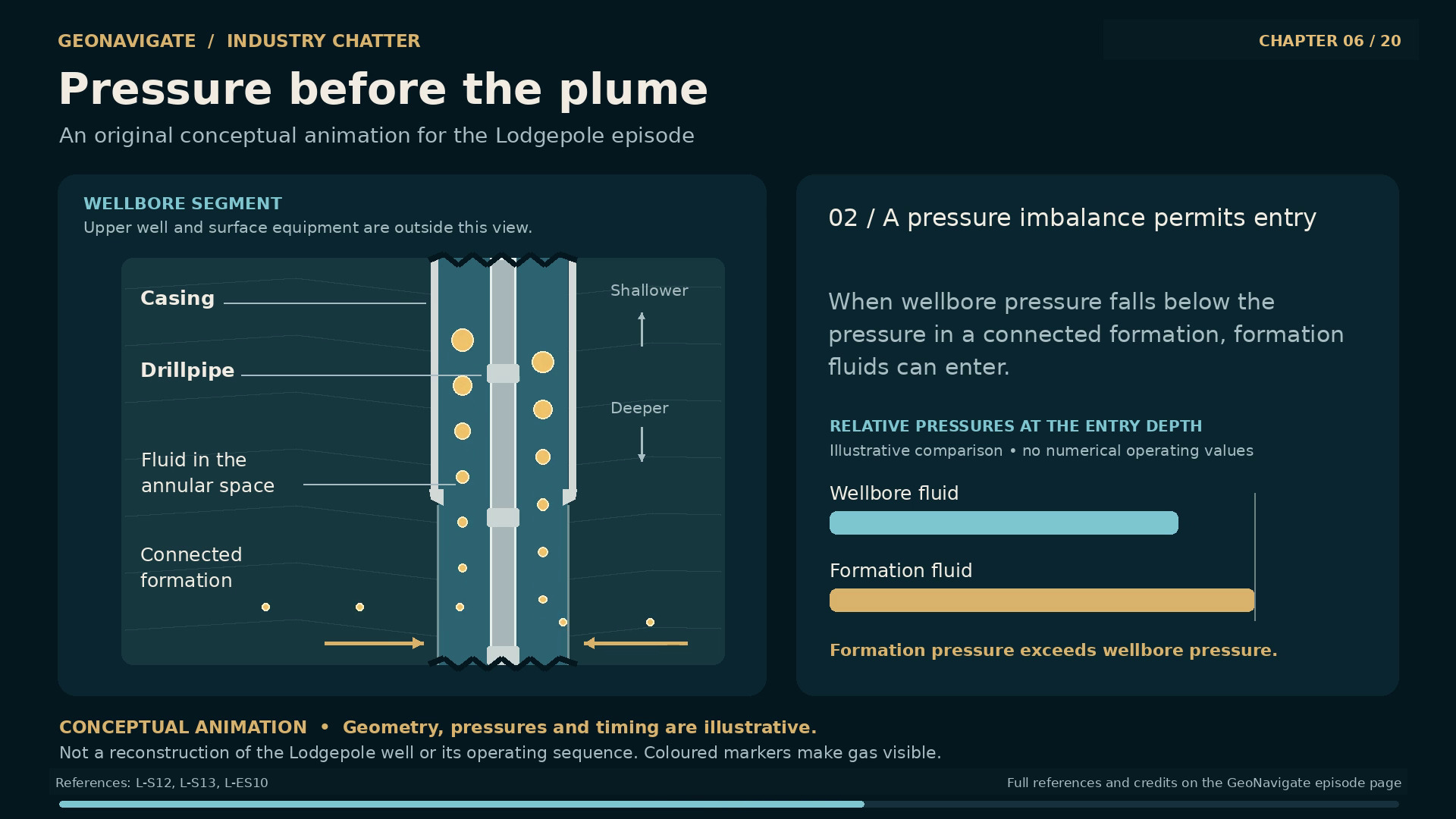
Pressure before the plume. Original conceptual pressure relationship; no historical operating values or exact reconstruction.
Original diagramOriginal conceptual pressure relationship; no historical operating values or exact reconstruction.Original GeoNavigate explanatory animation, Chaser Geological, 2026. · Image record ↗ · Rights basis ↗
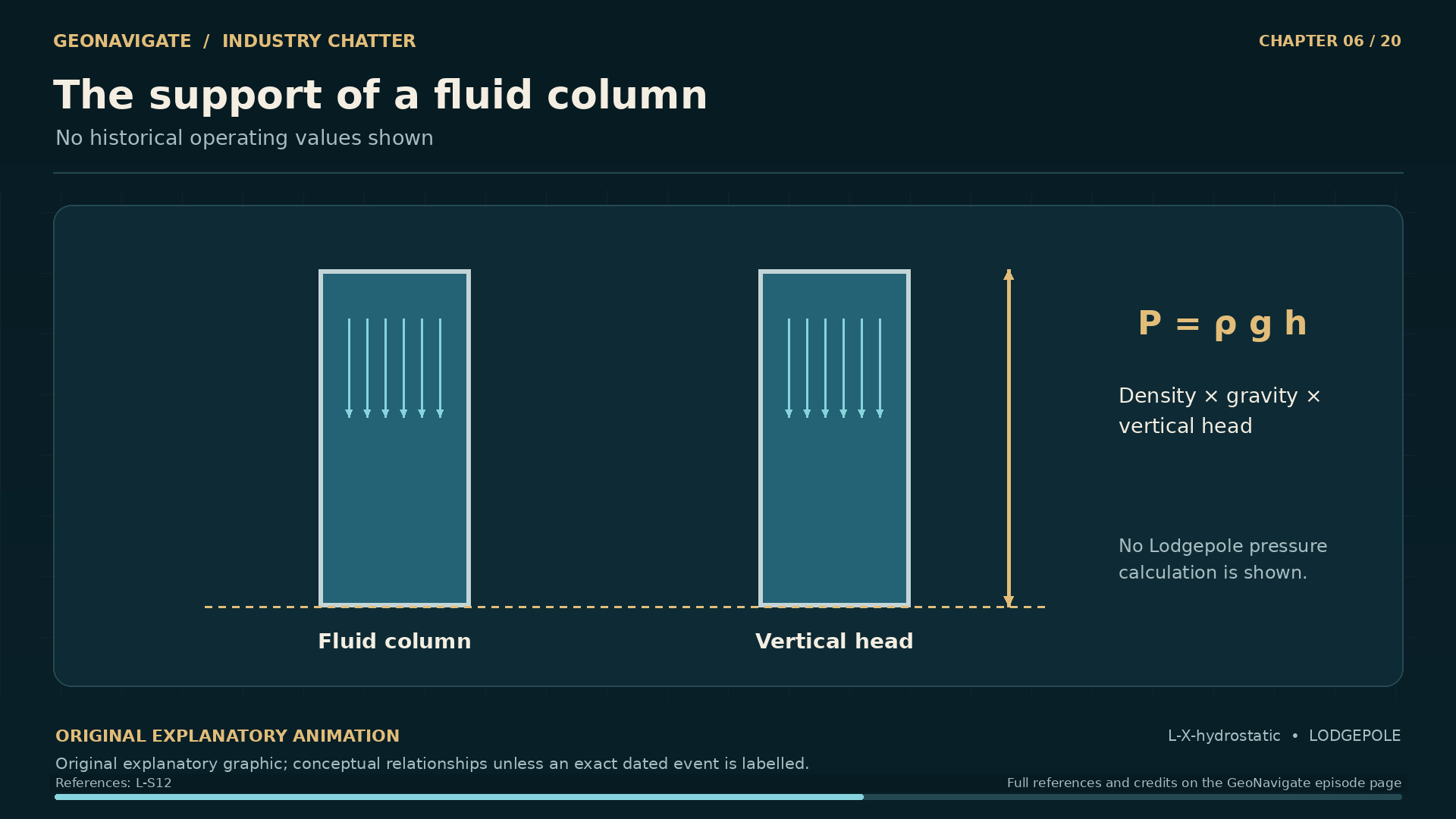
The support of a fluid column. No historical operating values shown. Original conceptual illustration; cited sources provide the factual basis.
Original diagramNo historical operating values shown. Original conceptual illustration; cited sources provide the factual basis.Original GeoNavigate explanatory graphic, Chaser Geological, 2026. · Image record ↗ · Rights basis ↗
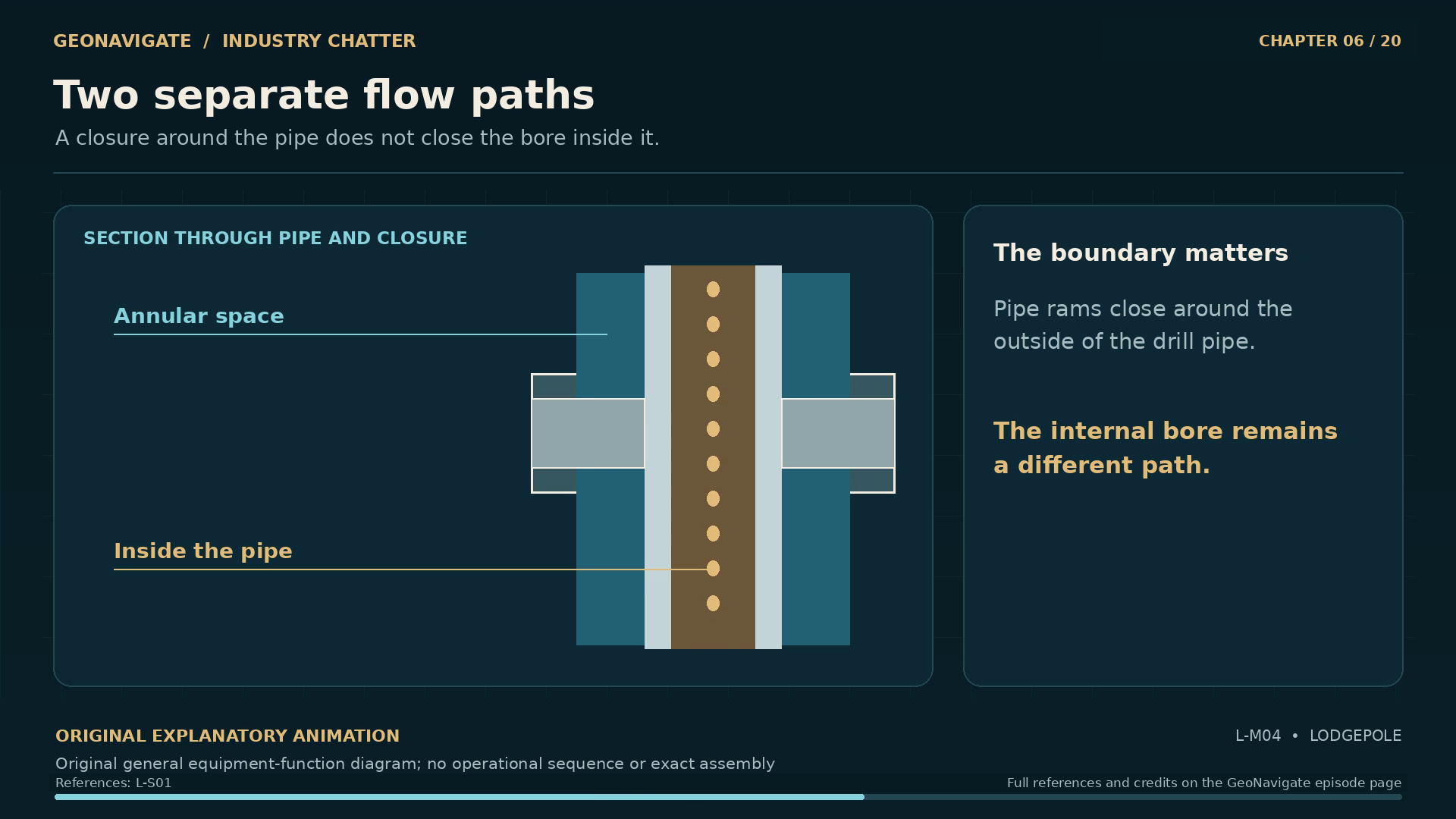
Two separate flow paths. Original general equipment-function diagram; no operational sequence or exact assembly
Original diagramOriginal general equipment-function diagram; no operational sequence or exact assemblyOriginal GeoNavigate explanatory animation, Chaser Geological, 2026. · Image record ↗ · Rights basis ↗
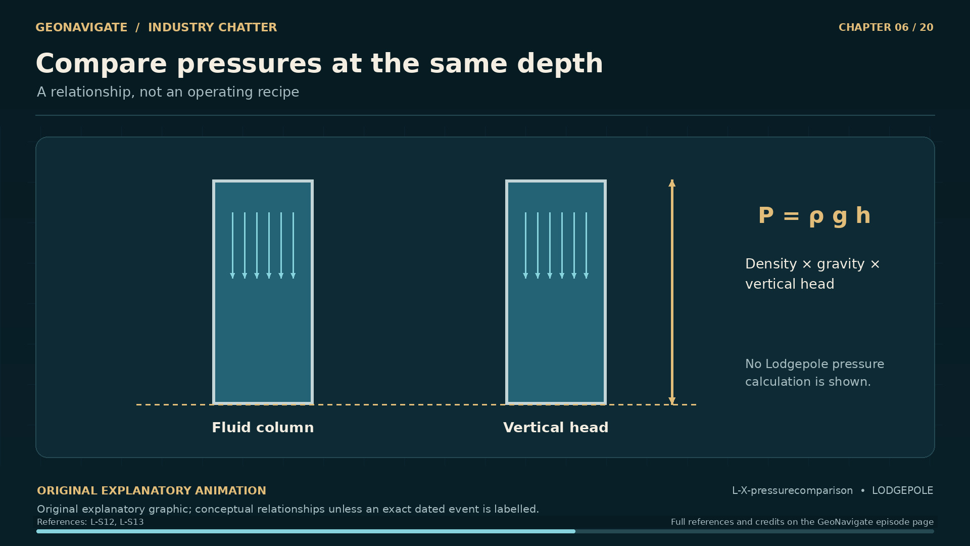
Compare pressures at the same depth. A relationship, not an operating recipe. Original conceptual illustration; cited sources provide the factual basis.
Original diagramA relationship, not an operating recipe. Original conceptual illustration; cited sources provide the factual basis.Original GeoNavigate explanatory graphic, Chaser Geological, 2026. · Image record ↗ · Rights basis ↗

To understand what followed, picture the well with two paths for fluid. One lies inside the drill pipe. The other is the space around it, between the pipe and the surrounding well. That surrounding space is called the annulus.

During ordinary drilling circulation, fluid travels down inside the pipe and returns through the annulus. Its weight also helps oppose the pressure of fluids in the formation.

For a stationary fluid column, pressure depends on its density and vertical height. A denser column produces more pressure at the same depth. This is the hydrostatic part of the balance. A working well has further complications, including movement and friction, but that basic relationship is central.

If formation fluid enters the well unintentionally, the industry calls the influx a kick. A kick creates a control problem. It does not automatically mean that uncontrolled flow at the surface has begun.

Gas adds another complication. As pressure falls, a given quantity of gas can occupy more volume. Boyle's law describes a simplified relationship at constant temperature. Real reservoir fluids require more careful treatment, but the direction of the effect matters here: gas rising toward lower pressure can expand.

That means the appearance of a gas influx can change as it moves. What happens deep in the well and what appears at the surface are connected through a moving, changing column.

The task at thirteen twelve was therefore more demanding than keeping a hole full. The fluid had to provide a dependable pressure contribution, and the equipment and observations had to support control as conditions changed.

Chapter sources67111518

CHAPTER 07

The warning that was difficult to read

Several observations needed interpretation. Pressure indications. Original conceptual illustration; cited sources provide the factual basis.
Original diagramPressure indications. Original conceptual illustration; cited sources provide the factual basis.Original GeoNavigate explanatory graphic, Chaser Geological, 2026. · Image record ↗ · Rights basis ↗
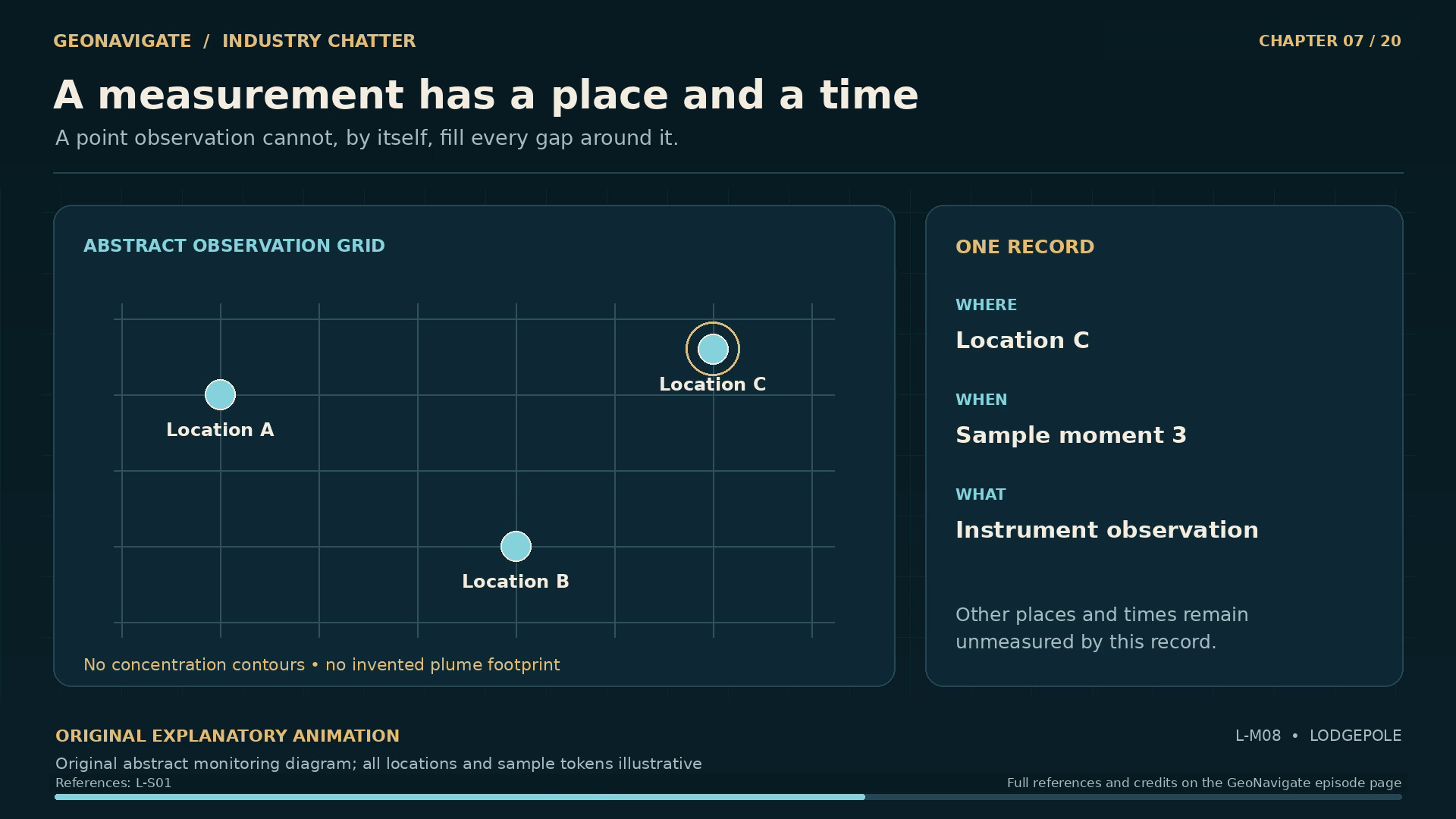
A measurement has a place and a time. Original abstract monitoring diagram; all locations and sample tokens illustrative
Original diagramOriginal abstract monitoring diagram; all locations and sample tokens illustrativeOriginal GeoNavigate explanatory animation, Chaser Geological, 2026. · Image record ↗ · Rights basis ↗
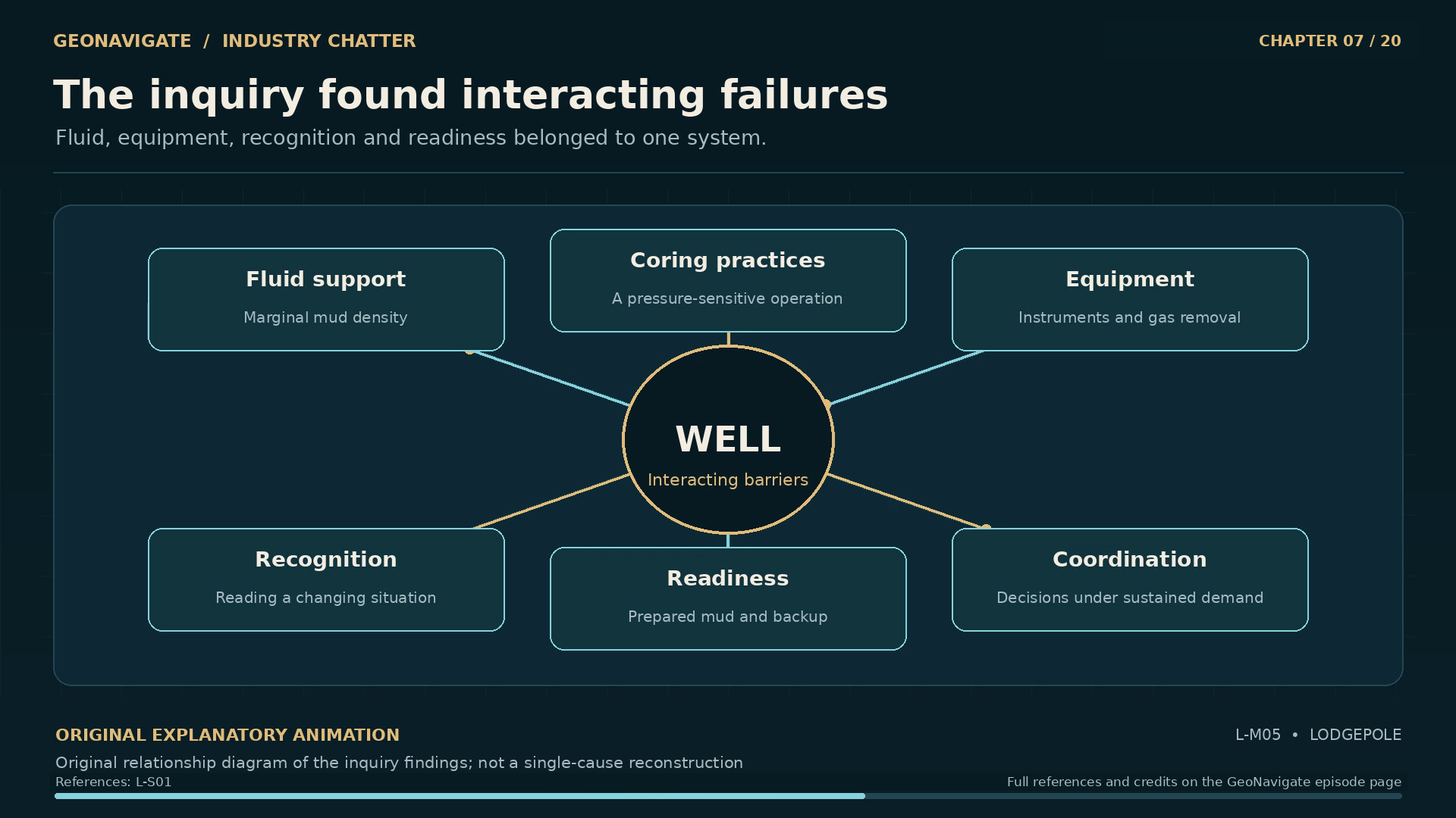
The inquiry found interacting failures. Original relationship diagram of the inquiry findings; not a single-cause reconstruction
Original diagramOriginal relationship diagram of the inquiry findings; not a single-cause reconstructionOriginal GeoNavigate explanatory animation, Chaser Geological, 2026. · Image record ↗ · Rights basis ↗
An indication is part of the evidence. What else is changing. Original conceptual illustration; cited sources provide the factual basis.
Original diagramWhat else is changing. Original conceptual illustration; cited sources provide the factual basis.Original GeoNavigate explanatory graphic, Chaser Geological, 2026. · Image record ↗ · Rights basis ↗
A system can lose several margins. Response. Original conceptual illustration; cited sources provide the factual basis.
Original diagramResponse. Original conceptual illustration; cited sources provide the factual basis.Original GeoNavigate explanatory graphic, Chaser Geological, 2026. · Image record ↗ · Rights basis ↗

Late on October sixteenth, the observations did not present one simple, consistent picture. The inquiry describes mud splashing at the surface, a sharp rise in the mud logger's gas reading, and a strong hydrogen sulphide odour. A flow check appeared to show no flow. Pressure gauges initially read zero.

Later, problems with the casing pressure instruments became apparent. The record also describes trouble with equipment intended to remove gas from the drilling fluid.

Reading this sequence now, we know where it ends. The people making decisions then had to interpret observations as they arrived. That difference matters when assessing their decisions. It also makes the reliability of the observations especially important.

A gauge does not measure the entire well. It responds to pressure at a particular connection through a particular instrument. Its reading carries assumptions about whether that connection and instrument are working. A zero on a dial can be meaningful, but only if the measurement can be trusted.

Similarly, a flow check is an observation made under particular conditions and over a particular interval. It has to be considered alongside the rest of the evidence.

The difficult question is how to respond when those signals disagree. Which observation needs verification? Which hazard remains possible? How much confidence should a reassuring result carry when another part of the system points toward trouble?

At Lodgepole, the inquiry could examine the sequence in detail. Its significance extends beyond the individual readings. The ability to maintain control depended partly on the ability to recognize when the picture of the well was incomplete.

Chapter sources291

CHAPTER 08

A chain of weakened barriers

Two separate flow paths. Original general equipment-function diagram; no operational sequence or exact assembly
Original diagramOriginal general equipment-function diagram; no operational sequence or exact assemblyOriginal GeoNavigate explanatory animation, Chaser Geological, 2026. · Image record ↗ · Rights basis ↗
The inquiry found interacting failures. Original relationship diagram of the inquiry findings; not a single-cause reconstruction
Original diagramOriginal relationship diagram of the inquiry findings; not a single-cause reconstructionOriginal GeoNavigate explanatory animation, Chaser Geological, 2026. · Image record ↗ · Rights basis ↗
A system can lose several margins. Response. Original conceptual illustration; cited sources provide the factual basis.
Original diagramResponse. Original conceptual illustration; cited sources provide the factual basis.Original GeoNavigate explanatory graphic, Chaser Geological, 2026. · Image record ↗ · Rights basis ↗
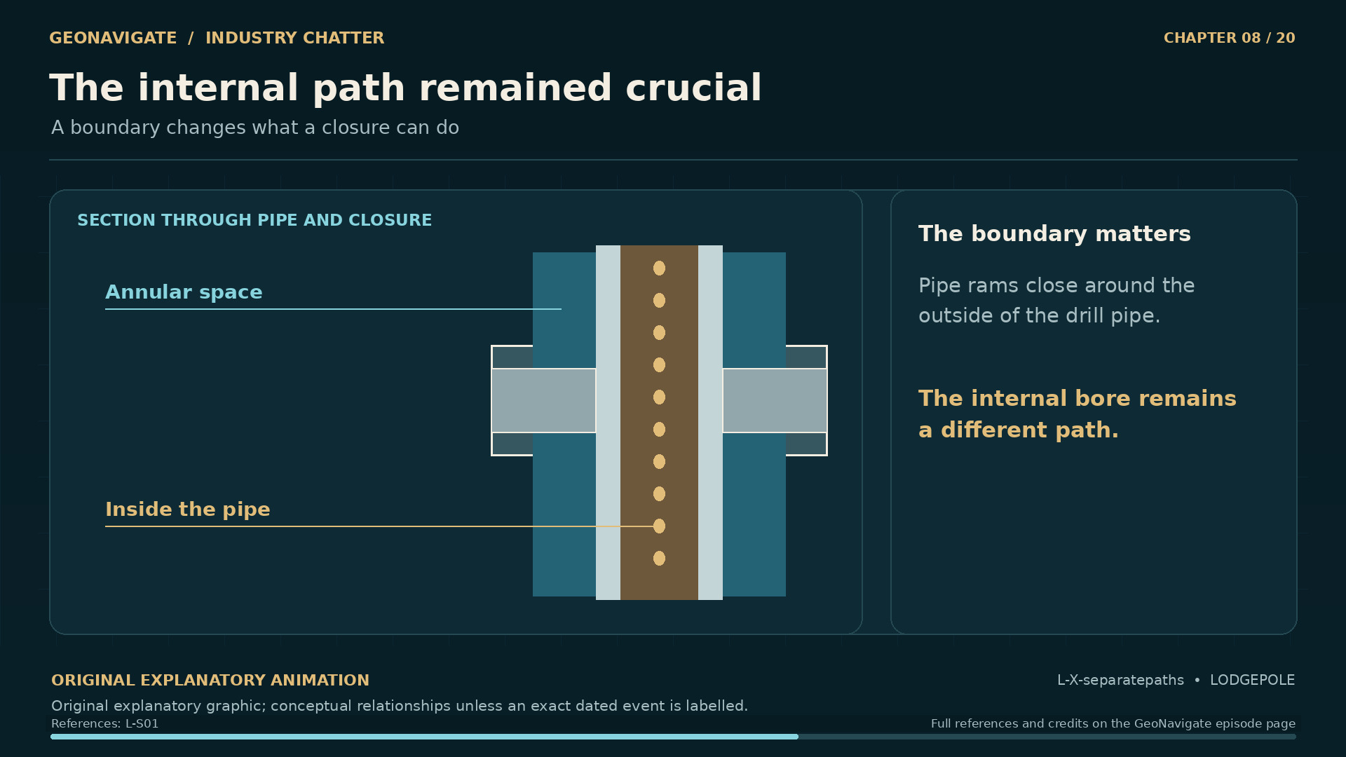
The internal path remained crucial. A boundary changes what a closure can do. Original conceptual illustration; cited sources provide the factual basis.
Original diagramA boundary changes what a closure can do. Original conceptual illustration; cited sources provide the factual basis.Original GeoNavigate explanatory graphic, Chaser Geological, 2026. · Image record ↗ · Rights basis ↗
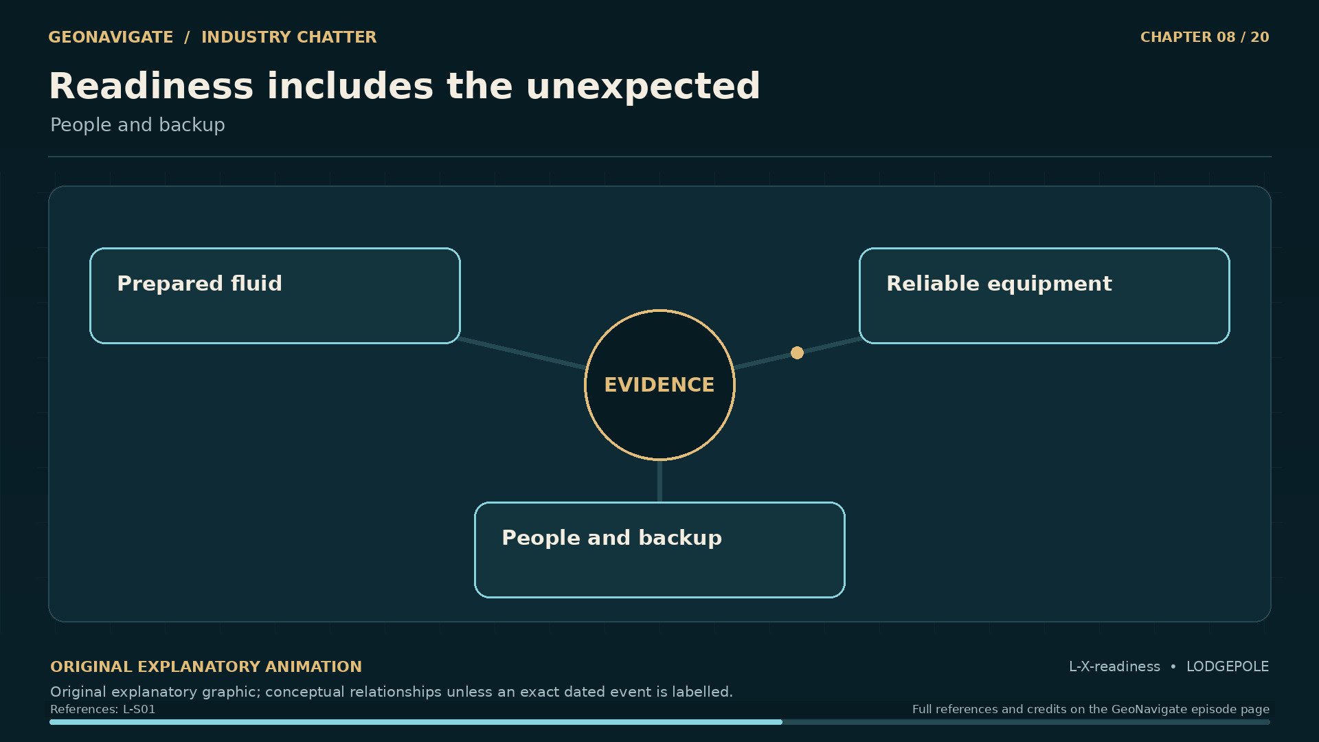
Readiness includes the unexpected. People and backup. Original conceptual illustration; cited sources provide the factual basis.
Original diagramPeople and backup. Original conceptual illustration; cited sources provide the factual basis.Original GeoNavigate explanatory graphic, Chaser Geological, 2026. · Image record ↗ · Rights basis ↗

The inquiry did not reduce the loss of control to one isolated failure. It identified a sequence involving coring practices, the fluid's density, recognition of kicks, equipment problems, and the availability of prepared drilling fluid.

These findings make more sense when we look at how the parts depended on one another.

The fluid contributed to the pressure balance. Its properties had to be maintained. Gas entering the fluid could complicate both its handling and the interpretation of what was coming from the well. A degasser could remove gas from the returning liquid, but that function did not remove the reservoir pressure driving an influx.

Surface equipment provided other means of control. Those means depended on the condition of the equipment, the flow path, and reliable information about the situation inside the well. A supply of suitable fluid mattered because a plan required material that could actually be used when needed.

People connected these parts. They observed changes, assessed competing explanations, and decided what to do next. The inquiry also considered the demands on supervisors and the need for earlier support.

It is tempting to draw several protective layers and assume that their number establishes safety. A more revealing question is whether they can still work when another part is under strain. Two apparent safeguards may share the same information, the same equipment, or the same limited supply.

Lodgepole gives that question a concrete setting. As the well became more difficult to interpret and manage, the resources needed to understand and control it were themselves being tested.

Chapter sources30117

CHAPTER 09

The afternoon control was lost

17 October 1982. The inquiry reconstructed the contributing events. Original conceptual illustration; cited sources provide the factual basis.
Original diagramThe inquiry reconstructed the contributing events. Original conceptual illustration; cited sources provide the factual basis.Original GeoNavigate explanatory graphic, Chaser Geological, 2026. · Image record ↗ · Rights basis ↗
Two separate flow paths. Original general equipment-function diagram; no operational sequence or exact assembly
Original diagramOriginal general equipment-function diagram; no operational sequence or exact assemblyOriginal GeoNavigate explanatory animation, Chaser Geological, 2026. · Image record ↗ · Rights basis ↗
The inquiry found interacting failures. Original relationship diagram of the inquiry findings; not a single-cause reconstruction
Original diagramOriginal relationship diagram of the inquiry findings; not a single-cause reconstructionOriginal GeoNavigate explanatory animation, Chaser Geological, 2026. · Image record ↗ · Rights basis ↗
The internal path remained crucial. A boundary changes what a closure can do. Original conceptual illustration; cited sources provide the factual basis.
Original diagramA boundary changes what a closure can do. Original conceptual illustration; cited sources provide the factual basis.Original GeoNavigate explanatory graphic, Chaser Geological, 2026. · Image record ↗ · Rights basis ↗
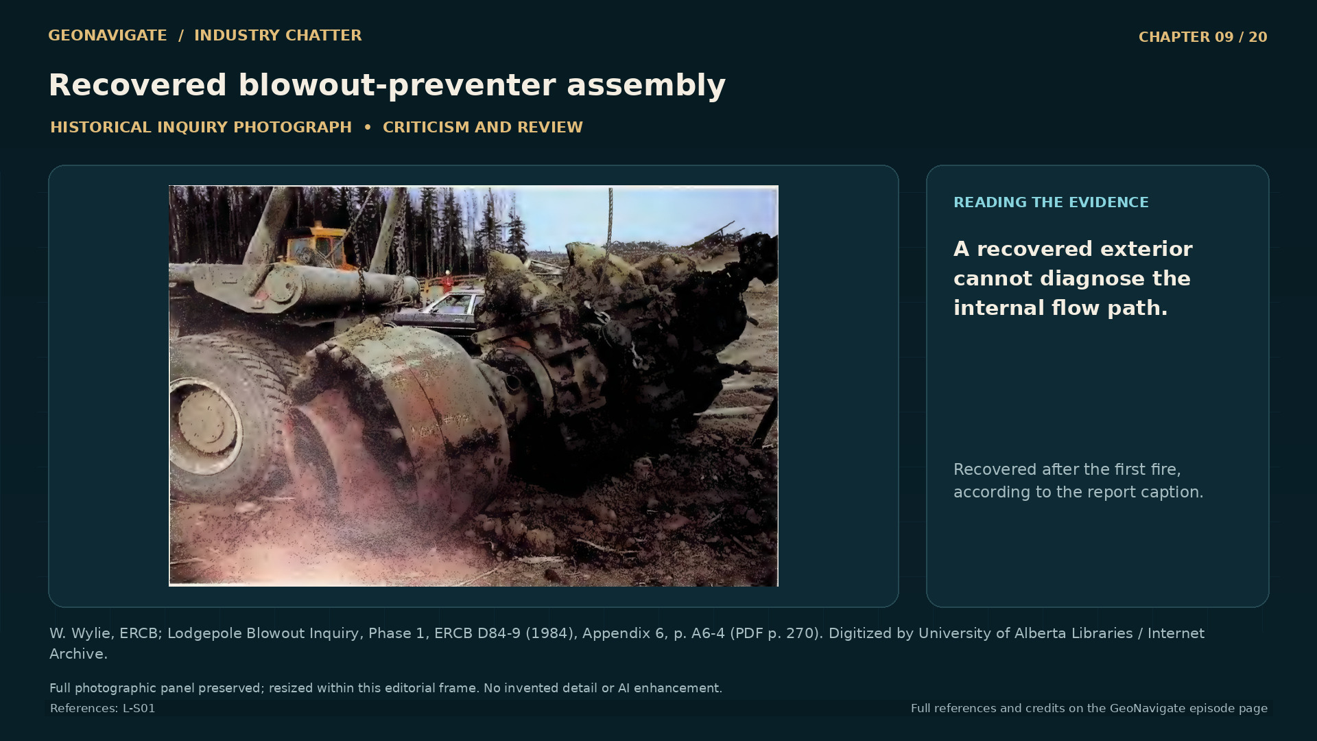
Recovered blowout-preventer assembly. The inquiry identifies this as the blowout-preventer stack recovered after the first fire. Its exterior is evidence of equipment recovered, but cannot by itself establish which internal passage was open during the October loss of control; that explanation comes from the inquiry and the separate conceptual diagram.
Historical imageThe inquiry identifies this as the blowout-preventer stack recovered after the first fire. Its exterior is evidence of equipment recovered, but cannot by itself establish which internal passage was open during the October loss of control; that explanation comes from the inquiry and the separate conceptual diagram.W. Wylie, ERCB; Lodgepole Blowout Inquiry, Phase 1, ERCB D84-9 (1984), Appendix 6, p. A6-4 (PDF p. 270). Digitized by University of Alberta Libraries / Internet Archive. · Image record ↗ · Rights basis ↗

At about half past two on the afternoon of October seventeenth, the drill pipe began moving upward. The sequence described by the inquiry led to damaged surface connections and mud and gas escaping through the drill pipe. The well was out of control.

The path of that flow is important. A drill pipe is hollow. Closing a seal around its outside does not, by itself, close the passage inside it.

Return to the two paths we pictured earlier. The annulus surrounds the pipe. The pipe has its own internal channel. Equipment designed to close one route cannot simply be assumed to close the other. Understanding which route remains open is fundamental to understanding the problem at the surface.

Pressure can also exert force on equipment. That force depends on the area over which the pressure acts, as well as the pressure itself. This helps explain, in general terms, why the movement of heavy steel is compatible with a pressure-driven emergency. We do not need to assign an invented force to the Lodgepole pipe to understand the principle.

The loss of control on this afternoon must also be kept separate from the dramatic pipe ejection and fire that followed in November. Those were different events in the developing emergency.

From this point, the response had two urgent fronts. Specialists had to recover control of a damaged, flowing well. Beyond the lease, people needed information about a release whose behaviour and consequences were still being assessed.

Chapter sources31111131416

CHAPTER 10

The hazard people could not see

A measurement has a place and a time. Original abstract monitoring diagram; all locations and sample tokens illustrative
Original diagramOriginal abstract monitoring diagram; all locations and sample tokens illustrativeOriginal GeoNavigate explanatory animation, Chaser Geological, 2026. · Image record ↗ · Rights basis ↗
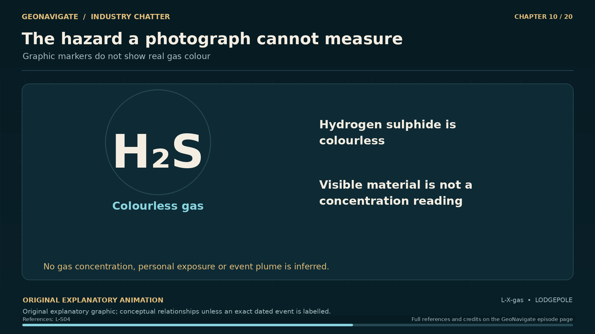
The hazard a photograph cannot measure. Graphic markers do not show real gas colour. Original conceptual illustration; cited sources provide the factual basis.
Original diagramGraphic markers do not show real gas colour. Original conceptual illustration; cited sources provide the factual basis.Original GeoNavigate explanatory graphic, Chaser Geological, 2026. · Image record ↗ · Rights basis ↗
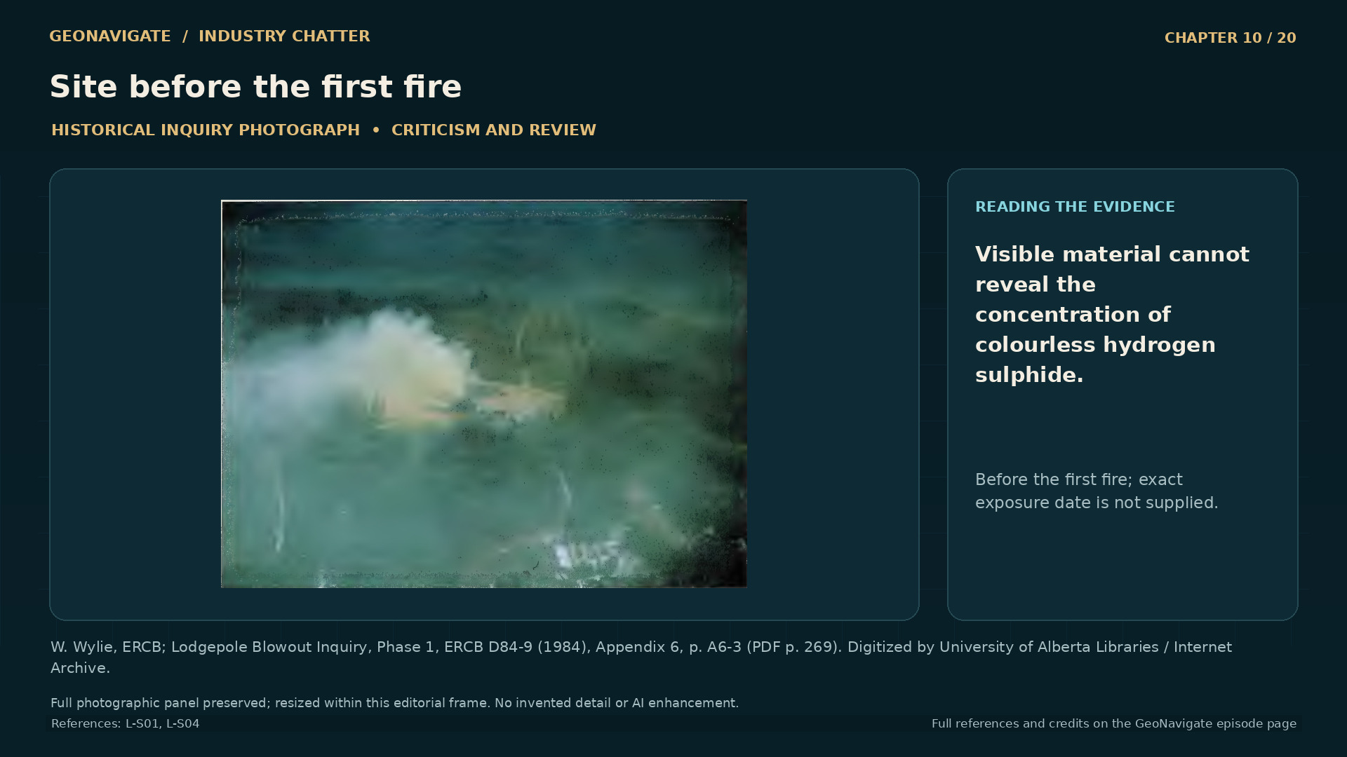
Site before the first fire. The report places this view before the first fire. The visible material is not a map of hydrogen-sulphide concentration: the gas is colourless, and a photograph cannot establish the air concentration or exposure at another place.
Historical imageThe report places this view before the first fire. The visible material is not a map of hydrogen-sulphide concentration: the gas is colourless, and a photograph cannot establish the air concentration or exposure at another place.W. Wylie, ERCB; Lodgepole Blowout Inquiry, Phase 1, ERCB D84-9 (1984), Appendix 6, p. A6-3 (PDF p. 269). Digitized by University of Alberta Libraries / Internet Archive. · Image record ↗ · Rights basis ↗
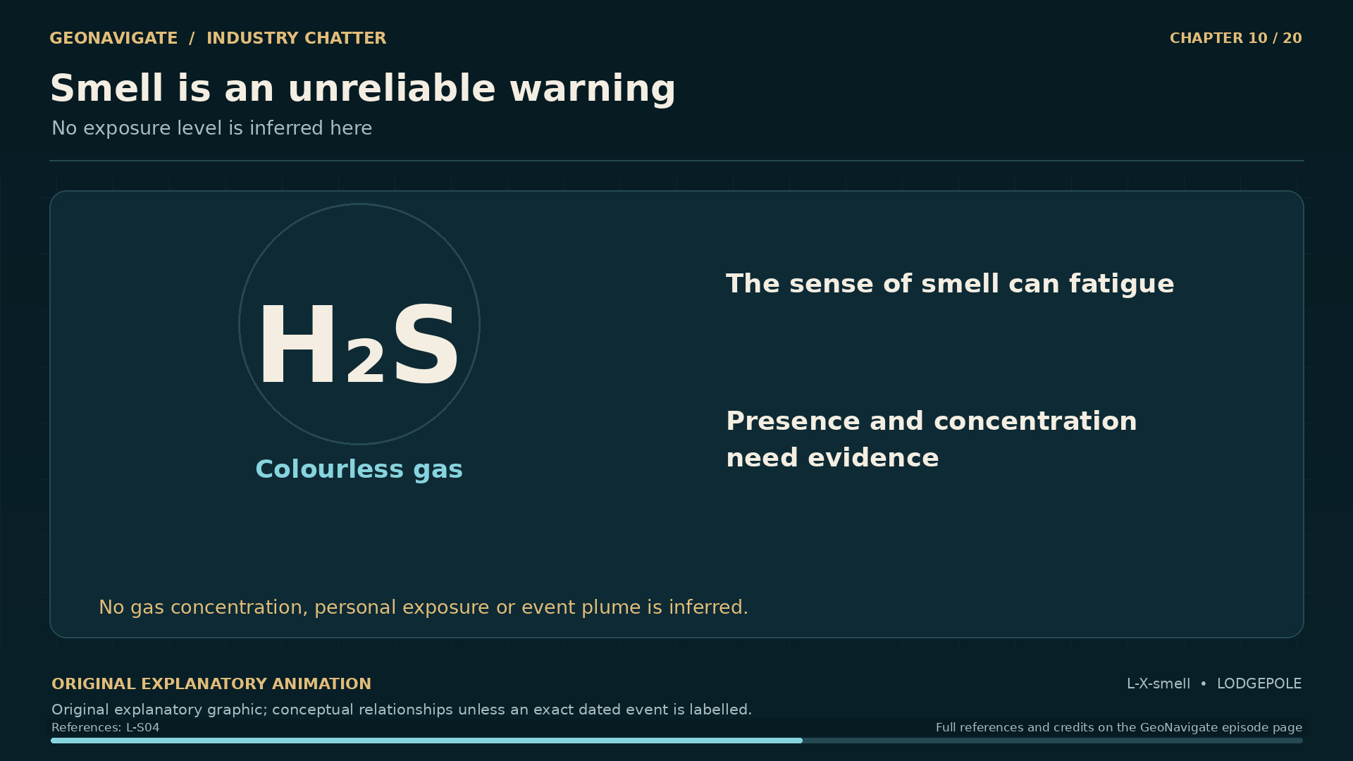
Smell is an unreliable warning. No exposure level is inferred here. Original conceptual illustration; cited sources provide the factual basis.
Original diagramNo exposure level is inferred here. Original conceptual illustration; cited sources provide the factual basis.Original GeoNavigate explanatory graphic, Chaser Geological, 2026. · Image record ↗ · Rights basis ↗
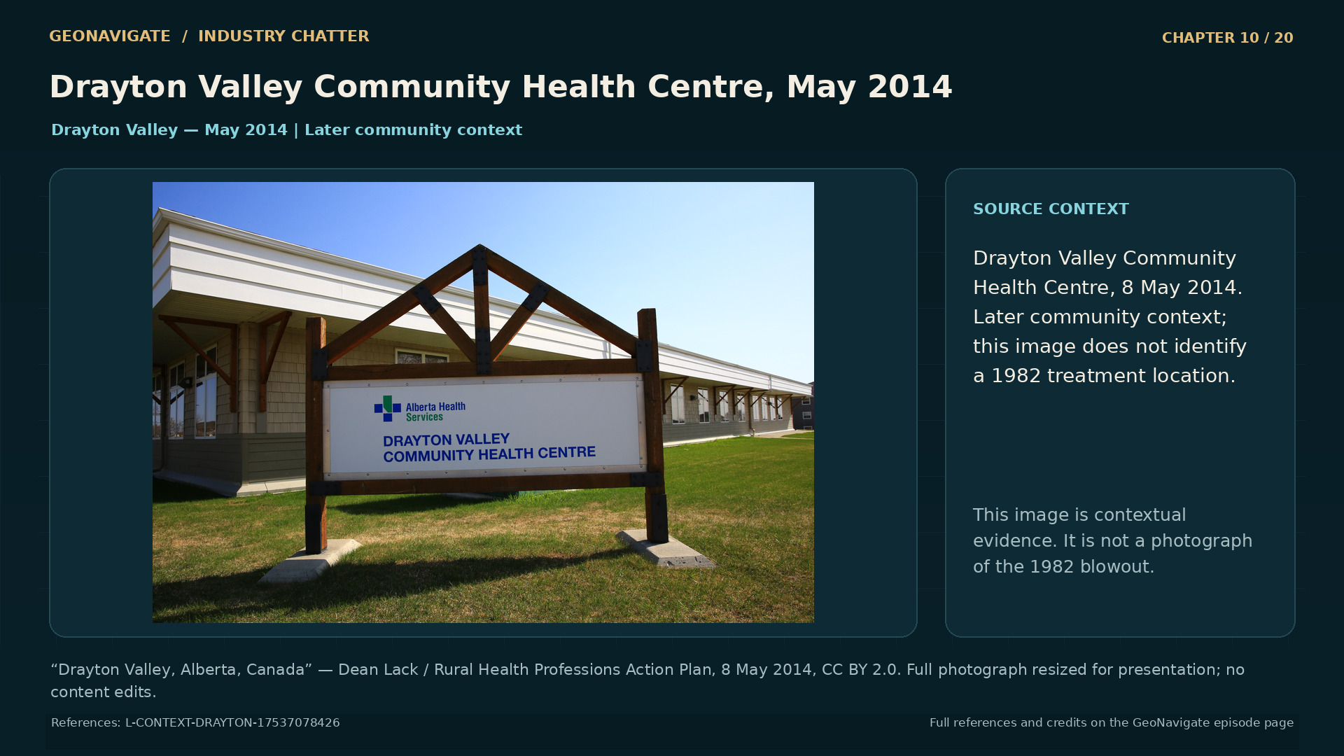
Drayton Valley Community Health Centre, May 2014. Contemporary community context only. Never present as 1982, as a depiction of affected individuals, or as evidence of specific historical health outcomes.
Modern photographDrayton Valley Community Health Centre, May 2014. Contemporary community context only. Never present as 1982, as a depiction of affected individuals, or as evidence of specific historical health outcomes.“Drayton Valley, Alberta, Canada” — Dean Lack / Rural Health Professions Action Plan, 8 May 2014, CC BY 2.0. Full photograph resized for presentation; no content edits. · CC BY 2.0 · Image record ↗ · Licence ↗ · Rights basis ↗

Sour gas contains hydrogen sulphide. Hydrogen sulphide is colourless. Its familiar odour can also become an unreliable warning because the ability to smell it can be lost during exposure.

That creates a problem for any visual account of Lodgepole. A visible cloud in a photograph cannot simply be labelled hydrogen sulphide. Smoke, condensed material, and other visible features may tell us that something is happening. They do not reveal the concentration of an invisible gas at every point around the well.

Several different quantities can also be confused. The proportion of hydrogen sulphide in gas from a reservoir is one quantity. Its concentration in air at a particular location is another. A person's exposure depends on where they were, when they were there, and how the concentration changed during that period.

Knowing one of these quantities does not automatically supply the others. A reservoir sample cannot stand in for a person's breathing zone. A reading at one monitoring station cannot describe every place between that station and the well.

These distinctions explain why a photograph, an odour report, and a monitor reading answer different questions. Each may be valuable. Each has a particular reach.

They also explain why the emergency could be difficult to judge from home. The most immediately available cues were incomplete. The information needed to interpret the release depended on instruments, reporting, and people who could connect the observations to clear advice.

That connection became an important part of the inquiry's assessment of the response beyond the well site.

Chapter sources3241

CHAPTER 11

The community needs an answer

Rotary Park, Drayton Valley, May 2014. Contemporary community context only. Never present as 1982, as a depiction of affected individuals, or as evidence of specific historical health outcomes.
Modern photographRotary Park, Drayton Valley, May 2014. Contemporary community context only. Never present as 1982, as a depiction of affected individuals, or as evidence of specific historical health outcomes.“Drayton Valley, Alberta, Canada” — Dean Lack / Rural Health Professions Action Plan, 8 May 2014, CC BY 2.0. Full photograph resized for presentation; no content edits. · CC BY 2.0 · Image record ↗ · Licence ↗ · Rights basis ↗
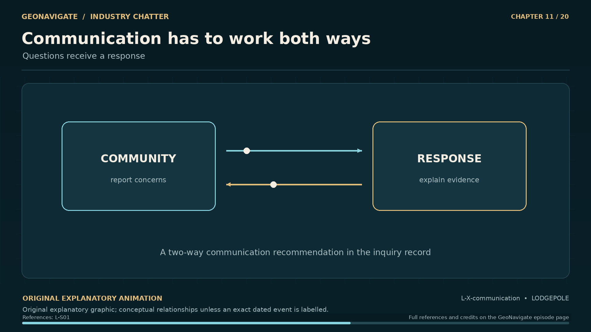
Communication has to work both ways. Questions receive a response. Original conceptual illustration; cited sources provide the factual basis.
Original diagramQuestions receive a response. Original conceptual illustration; cited sources provide the factual basis.Original GeoNavigate explanatory graphic, Chaser Geological, 2026. · Image record ↗ · Rights basis ↗
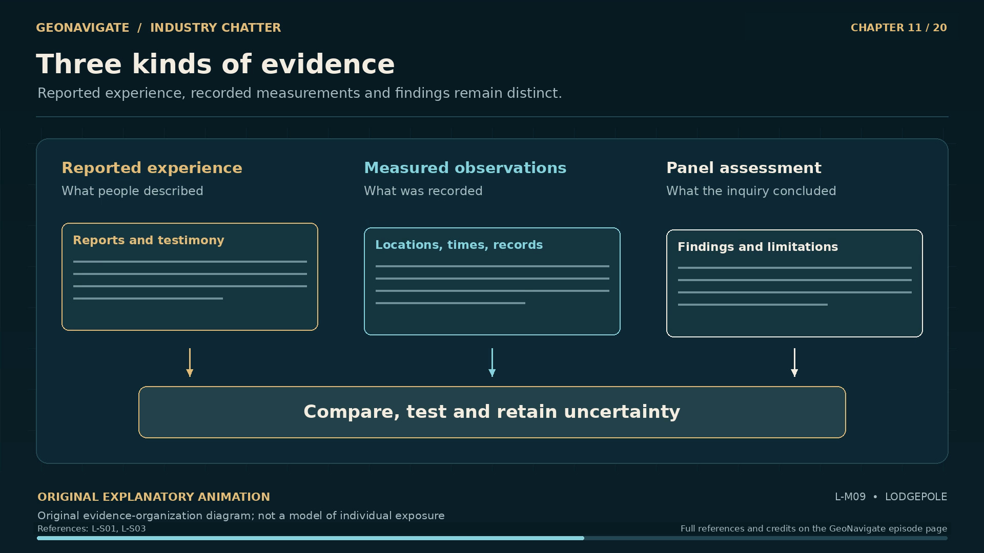
Three kinds of evidence. Original evidence-organization diagram; not a model of individual exposure
Original diagramOriginal evidence-organization diagram; not a model of individual exposureOriginal GeoNavigate explanatory animation, Chaser Geological, 2026. · Image record ↗ · Rights basis ↗
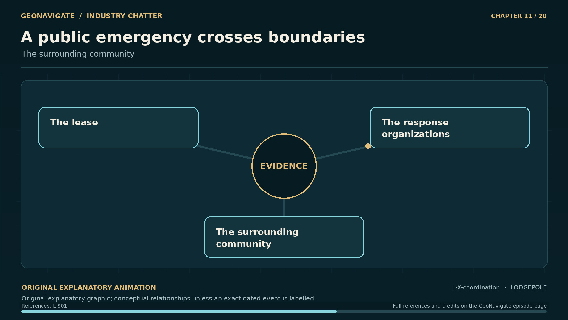
A public emergency crosses boundaries. The surrounding community. Original conceptual illustration; cited sources provide the factual basis.
Original diagramThe surrounding community. Original conceptual illustration; cited sources provide the factual basis.Original GeoNavigate explanatory graphic, Chaser Geological, 2026. · Image record ↗ · Rights basis ↗

For someone outside the lease, information about the well needed to connect to ordinary decisions. Was a change being observed? What did the available measurements cover? Who would explain a new development, and when would the next update come?

These are the narrator's questions, rather than reconstructed words from an individual resident. They help us understand the difference between collecting information and making it useful to a community.

The inquiry found important shortcomings in communication. It could regard a monitoring program as effective in its own terms while also finding that the results and their meaning were not communicated adequately.

A monitoring network and a public information system have different jobs. One produces observations. The other must explain what those observations mean, what remains uncertain, and how people can raise concerns that the existing observations may have missed.

Consider a simple hypothetical example. A report says that a station recorded no unusual reading during a specified interval. A resident wants to understand an experience elsewhere, earlier that day. Both statements can be sincere without referring to the same place and time. A useful response identifies that difference and investigates what can be established.

Modern risk communication guidance emphasizes explaining what is known and unknown, listening to the people affected, and maintaining clear updates. Applying that perspective to Lodgepole helps identify the practical work involved in trust.

Trust needs a way for a question to receive an answer, for uncertainty to be acknowledged, and for new information to change the account. Those responsibilities continued while the effort at the well grew more difficult.

Chapter sources33120

CHAPTER 12

Plan B and the first fire

The well changed state. Original dated timeline based on the inquiry; no incident footage
Original diagramOriginal dated timeline based on the inquiry; no incident footageOriginal GeoNavigate explanatory animation, Chaser Geological, 2026. · Image record ↗ · Rights basis ↗
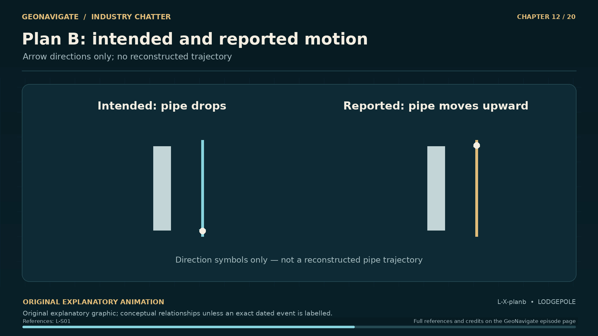
Plan B: intended and reported motion. Arrow directions only; no reconstructed trajectory. Original conceptual illustration; cited sources provide the factual basis.
Original diagramArrow directions only; no reconstructed trajectory. Original conceptual illustration; cited sources provide the factual basis.Original GeoNavigate explanatory graphic, Chaser Geological, 2026. · Image record ↗ · Rights basis ↗
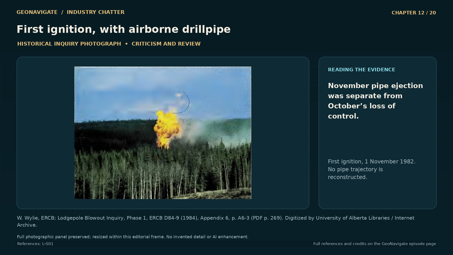
First ignition, with airborne drillpipe. The inquiry caption identifies the first ignition and draws attention to pipe above the flame. Reading that evidence against the documented sequence prevents this dramatic November event from being substituted for the initial October loss of control; the photo alone does not reconstruct the pipe trajectory.
Historical imageThe inquiry caption identifies the first ignition and draws attention to pipe above the flame. Reading that evidence against the documented sequence prevents this dramatic November event from being substituted for the initial October loss of control; the photo alone does not reconstruct the pipe trajectory.W. Wylie, ERCB; Lodgepole Blowout Inquiry, Phase 1, ERCB D84-9 (1984), Appendix 6, p. A6-3 (PDF p. 269). Digitized by University of Alberta Libraries / Internet Archive. · Image record ↗ · Rights basis ↗
1 November: the first fire. Exact spark source is not reconstructed. Original conceptual illustration; cited sources provide the factual basis.
Original diagramExact spark source is not reconstructed. Original conceptual illustration; cited sources provide the factual basis.Original GeoNavigate explanatory graphic, Chaser Geological, 2026. · Image record ↗ · Rights basis ↗

At the well, one proposed solution depended on the remaining drill pipe dropping down the hole. That approach became known as Plan B. The possibility that the pipe could instead be forced upward was recognized.

On November first, the pipe shot out. The location caught fire, and the derrick collapsed. The emergency had entered another phase.

Fire can make a flowing well appear more legible. There is a visible flame and an obvious source. But the flame describes a reaction at the surface. It does not tell us that the flow feeding it has been controlled.

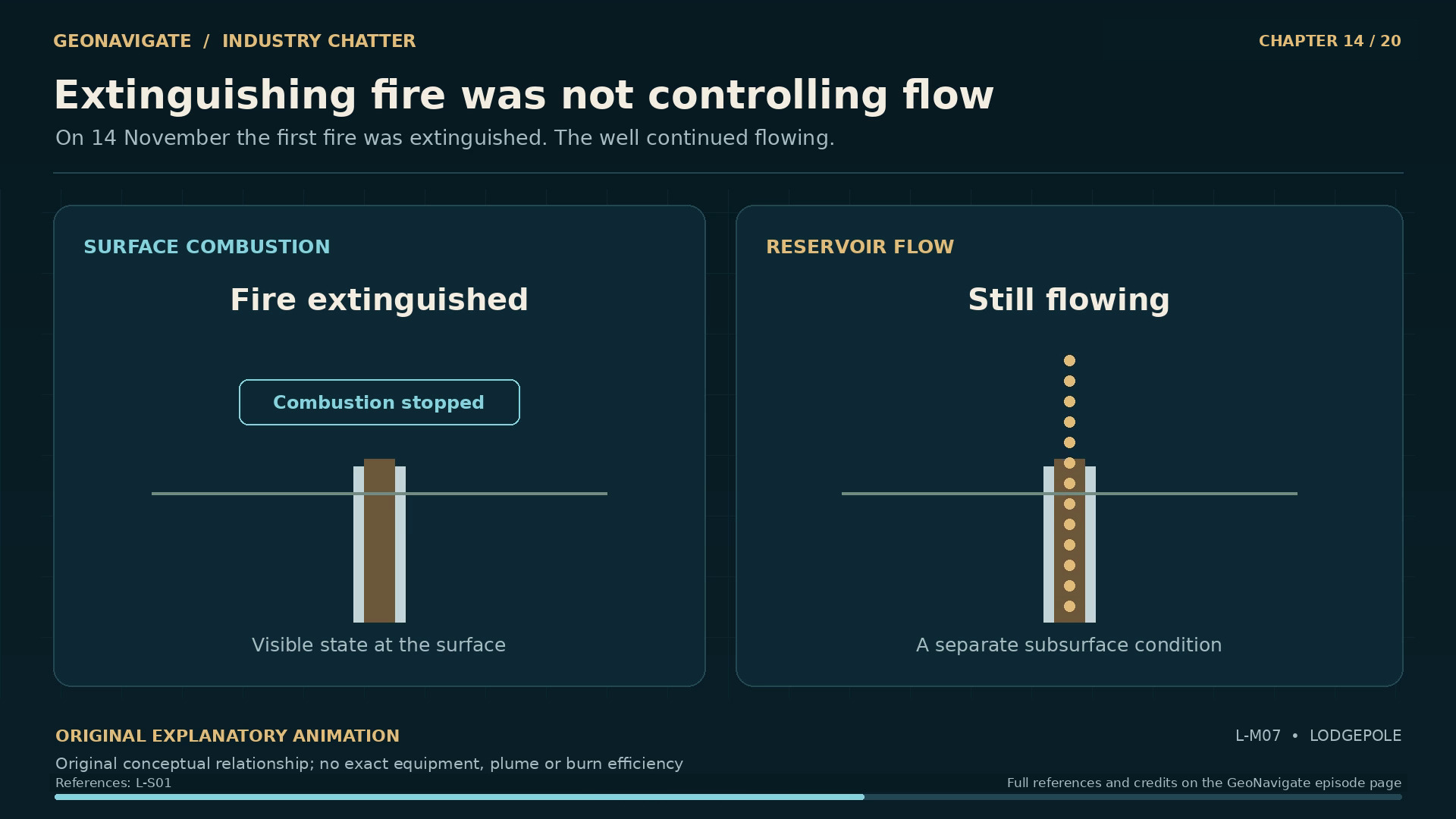
This distinction is essential at Lodgepole. On November fourteenth, the first fire was extinguished. The well continued to flow.

Two different problems were involved. One concerned combustion: whether the escaping material was burning. The other concerned the connection between the pressured reservoir and the surface: whether formation fluids could still escape through the well.

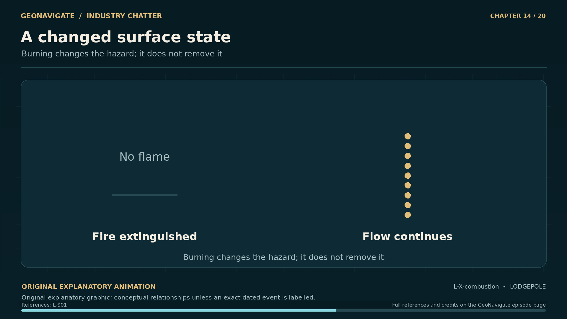
Extinguishing a fire changes the first condition. Controlling the well requires changing the second. The absence of flame can therefore coexist with a continuing release.

Combustion also changes the chemicals being released. Burning hydrogen sulphide produces sulphur dioxide, itself a hazardous gas. Heat can alter how emissions move into the surrounding air. These changes require their own assessment; a flame cannot serve as a universal measure of public safety.

For the specialists working at Lodgepole, the equipment had to be approached under changing conditions. For people beyond the lease, each change raised a new need for explanation. A fire being put out was an event to understand within a longer emergency.

Chapter sources341

CHAPTER 13

The cost of the capping attempt

Two separate flow paths. Original general equipment-function diagram; no operational sequence or exact assembly
Original diagramOriginal general equipment-function diagram; no operational sequence or exact assemblyOriginal GeoNavigate explanatory animation, Chaser Geological, 2026. · Image record ↗ · Rights basis ↗
Readiness includes the unexpected. People and backup. Original conceptual illustration; cited sources provide the factual basis.
Original diagramPeople and backup. Original conceptual illustration; cited sources provide the factual basis.Original GeoNavigate explanatory graphic, Chaser Geological, 2026. · Image record ↗ · Rights basis ↗
A public emergency crosses boundaries. The surrounding community. Original conceptual illustration; cited sources provide the factual basis.
Original diagramThe surrounding community. Original conceptual illustration; cited sources provide the factual basis.Original GeoNavigate explanatory graphic, Chaser Geological, 2026. · Image record ↗ · Rights basis ↗
16 November 1982. A human cost that remains central to the record. Original conceptual illustration; cited sources provide the factual basis.
Original diagramA human cost that remains central to the record. Original conceptual illustration; cited sources provide the factual basis.Original GeoNavigate explanatory graphic, Chaser Geological, 2026. · Image record ↗ · Rights basis ↗

On November sixteenth, two employees of Wild Well Control died from hydrogen sulphide poisoning during a capping attempt.

That fact deserves a pause. The story contains machinery, calculations, and a sequence of plans. It also contains two lives lost while people worked to end the emergency.

The record does not require an imagined conversation or a reconstructed final moment to make those deaths matter. Their place in the chronology is enough to show what remained at stake after the first fire had been extinguished.

The fatal attempt also needs to be discussed with care. The inquiry did not support a simple portrayal of Wild Well as inexperienced. Nor did it find evidence that Amoco's control decisions were governed by cost.

Those conclusions do not make the deaths less serious. They define what the inquiry found, and prevent criticism from becoming a story built around assumptions about the people involved.

For anyone reviewing an accident, there is a difference between identifying a bad outcome and establishing why a particular decision failed. A credible explanation follows the equipment, the conditions, the available knowledge, and the decisions supported by the evidence. The outcome alone cannot establish someone's motive.

At Lodgepole, the inquiry had to examine the work closely enough to criticize it where the evidence warranted, while distinguishing findings from allegations.

For our account, the same discipline matters. The two deaths belong at the centre of the consequences. The explanation of the control effort still has to remain attached to the record.

Chapter sources3512

CHAPTER 14

A second fire, a changed problem

The well changed state. Original dated timeline based on the inquiry; no incident footage
Original diagramOriginal dated timeline based on the inquiry; no incident footageOriginal GeoNavigate explanatory animation, Chaser Geological, 2026. · Image record ↗ · Rights basis ↗
The hazard a photograph cannot measure. Graphic markers do not show real gas colour. Original conceptual illustration; cited sources provide the factual basis.
Original diagramGraphic markers do not show real gas colour. Original conceptual illustration; cited sources provide the factual basis.Original GeoNavigate explanatory graphic, Chaser Geological, 2026. · Image record ↗ · Rights basis ↗
Extinguishing fire was not controlling flow. Original conceptual relationship; no exact equipment, plume or burn efficiency
Original diagramOriginal conceptual relationship; no exact equipment, plume or burn efficiencyOriginal GeoNavigate explanatory animation, Chaser Geological, 2026. · Image record ↗ · Rights basis ↗
A changed surface state. Burning changes the hazard; it does not remove it. Original conceptual illustration; cited sources provide the factual basis.
Original diagramBurning changes the hazard; it does not remove it. Original conceptual illustration; cited sources provide the factual basis.Original GeoNavigate explanatory graphic, Chaser Geological, 2026. · Image record ↗ · Rights basis ↗
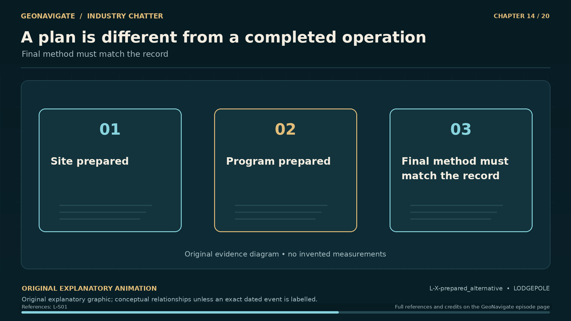
A plan is different from a completed operation. Final method must match the record. Original conceptual illustration; cited sources provide the factual basis.
Original diagramFinal method must match the record. Original conceptual illustration; cited sources provide the factual basis.Original GeoNavigate explanatory graphic, Chaser Geological, 2026. · Image record ↗ · Rights basis ↗

On November twenty-fifth, the well caught fire again. The inquiry identified burning material beneath the muskeg as the probable source of ignition. Probable is an important part of that finding.

The renewed fire changed the conditions around already damaged equipment. The next major effort would seek to cap the well while it was burning. Wild Well declined to undertake that approach. Boots and Coots was brought in during December.

It would be easy to turn that change of contractor into a contest of nerve. The record supports a more useful question: what conditions did each proposed approach require, and what risks accompanied it?

A burning well combines a continuing supply of fuel with a source of intense heat. A successful intervention has to address the flow even as the surrounding conditions complicate access to the equipment. Changing the state of the fire can change those access conditions and the emissions at the same time.

There is no single photograph that can resolve all of those considerations. A visible reduction in flame would describe one part of the problem. The integrity of a connection, the route of the flow, and the ability to maintain control would remain separate questions.

This is why the history of the response needs its sequence. A proposal that appeared possible at one stage could encounter different conditions later. Equipment damage and the state of the fire mattered to what could follow.

By this stage, another possibility had also received serious attention: reaching the well from below the damaged surface through a relief well.

Chapter sources361

CHAPTER 15

The relief well that was not the ending

Two separate flow paths. Original general equipment-function diagram; no operational sequence or exact assembly
Original diagramOriginal general equipment-function diagram; no operational sequence or exact assemblyOriginal GeoNavigate explanatory animation, Chaser Geological, 2026. · Image record ↗ · Rights basis ↗
A plan is different from a completed operation. Final method must match the record. Original conceptual illustration; cited sources provide the factual basis.
Original diagramFinal method must match the record. Original conceptual illustration; cited sources provide the factual basis.Original GeoNavigate explanatory graphic, Chaser Geological, 2026. · Image record ↗ · Rights basis ↗
A prepared alternative. Conceptual paths; no surveyed well geometry. Original conceptual illustration; cited sources provide the factual basis.
Original diagramConceptual paths; no surveyed well geometry. Original conceptual illustration; cited sources provide the factual basis.Original GeoNavigate explanatory graphic, Chaser Geological, 2026. · Image record ↗ · Rights basis ↗
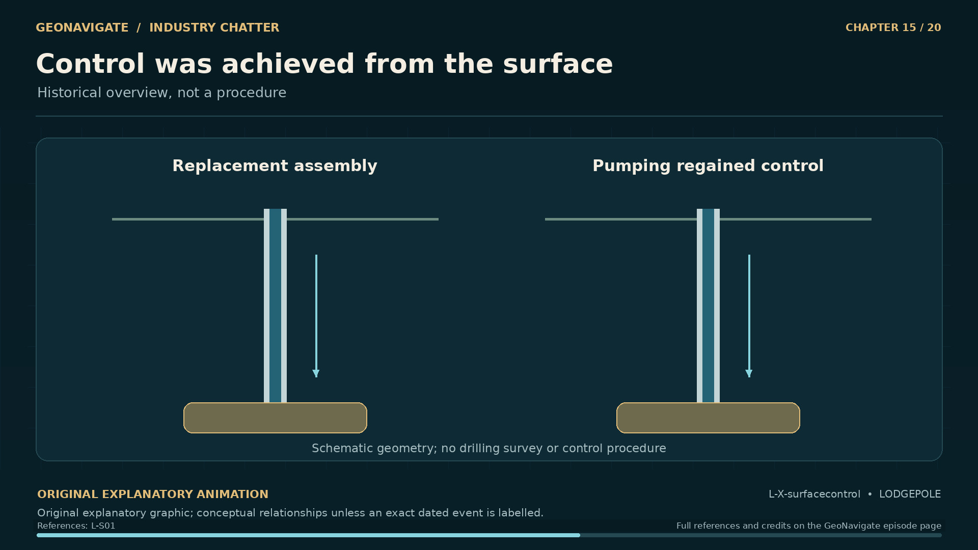
Control was achieved from the surface. Historical overview, not a procedure. Original conceptual illustration; cited sources provide the factual basis.
Original diagramHistorical overview, not a procedure. Original conceptual illustration; cited sources provide the factual basis.Original GeoNavigate explanatory graphic, Chaser Geological, 2026. · Image record ↗ · Rights basis ↗

A relief well approaches a flowing well through another drilled path. Its purpose is to create a route for bringing the original well under control when working through the existing surface equipment is difficult or impossible.

That idea is straightforward to picture and demanding to carry out. A target well is narrow compared with the volume of rock around it. Its location at depth has to be understood in relation to the new hole. Depth alone does not describe the separation between them.

Modern descriptions of relief well work emphasize this problem of relative position. Specialized ranging methods help determine where one well lies in relation to another. That modern explanation helps us understand the geometry; it does not establish which technology would have been used at Lodgepole in nineteen eighty-two.

At Lodgepole, a relief well site was prepared, a suitable rig was placed on standby, and a drilling program was designed. The eventual control of thirteen twelve came through the surface effort instead.

The inquiry examined the choices surrounding the relief well. In evaluating such a choice, the comparison must include the time needed for another drilled path and the hazards associated with creating it, as well as the prospects of the work already under way.

We should not turn a prepared option into a completed well in the retelling. It is an important part of the history because it shows that the response included competing routes to the same objective.

The route that finally succeeded returned attention to the damaged wellhead and the possibility of establishing control there.

Chapter sources37121

CHAPTER 16

December twenty-third: control, then stabilization

The well changed state. Original dated timeline based on the inquiry; no incident footage
Original diagramOriginal dated timeline based on the inquiry; no incident footageOriginal GeoNavigate explanatory animation, Chaser Geological, 2026. · Image record ↗ · Rights basis ↗
Start of the final capping operation. The report identifies the beginning of the final capping effort in this photograph. The image records surface work; the inquiry chronology is needed to establish the December 23 control date and distinguish that outcome from the prepared relief-well option.
Historical imageThe report identifies the beginning of the final capping effort in this photograph. The image records surface work; the inquiry chronology is needed to establish the December 23 control date and distinguish that outcome from the prepared relief-well option.W. Wylie, ERCB; Lodgepole Blowout Inquiry, Phase 1, ERCB D84-9 (1984), Appendix 6, p. A6-6 (PDF p. 272). Digitized by University of Alberta Libraries / Internet Archive. · Image record ↗ · Rights basis ↗
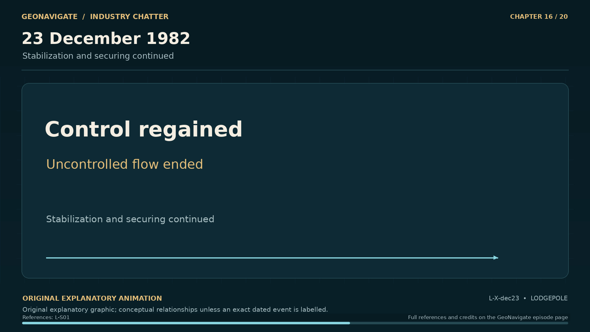
23 December 1982. Stabilization and securing continued. Original conceptual illustration; cited sources provide the factual basis.
Original diagramStabilization and securing continued. Original conceptual illustration; cited sources provide the factual basis.Original GeoNavigate explanatory graphic, Chaser Geological, 2026. · Image record ↗ · Rights basis ↗
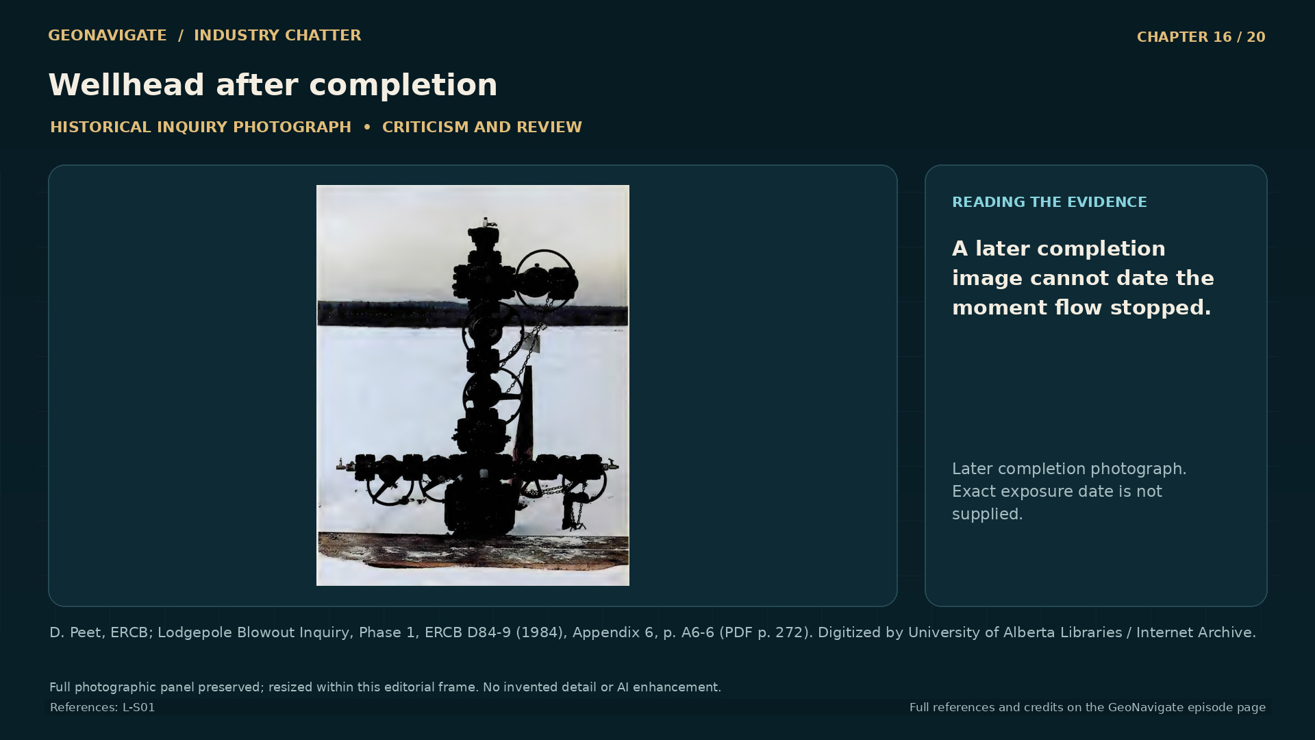
Wellhead after completion. The source identifies this as the wellhead after completion, without giving the exposure date. It helps distinguish later surface hardware from the moment control was regained; it cannot establish the condition of barriers down the well or date that earlier moment.
Historical imageThe source identifies this as the wellhead after completion, without giving the exposure date. It helps distinguish later surface hardware from the moment control was regained; it cannot establish the condition of barriers down the well or date that earlier moment.D. Peet, ERCB; Lodgepole Blowout Inquiry, Phase 1, ERCB D84-9 (1984), Appendix 6, p. A6-6 (PDF p. 272). Digitized by University of Alberta Libraries / Internet Archive. · Image record ↗ · Rights basis ↗
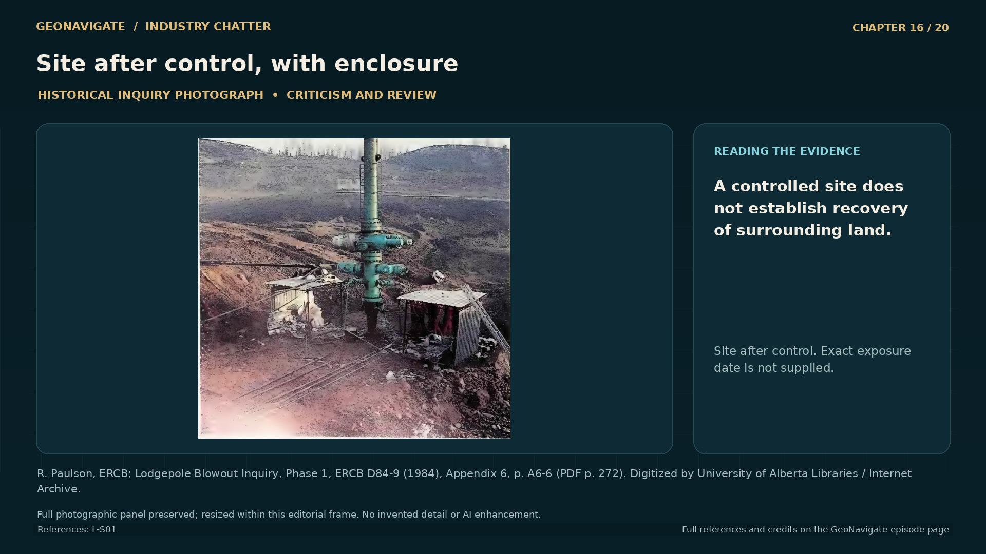
Site after control, with enclosure. The inquiry presents this as the site after the struggle for control. The surface arrangement is visible, but the image does not establish chemical concentrations, completed reclamation, or the later health of the surrounding landscape; those require separate evidence.
Historical imageThe inquiry presents this as the site after the struggle for control. The surface arrangement is visible, but the image does not establish chemical concentrations, completed reclamation, or the later health of the surrounding landscape; those require separate evidence.R. Paulson, ERCB; Lodgepole Blowout Inquiry, Phase 1, ERCB D84-9 (1984), Appendix 6, p. A6-6 (PDF p. 272). Digitized by University of Alberta Libraries / Internet Archive. · Image record ↗ · Rights basis ↗
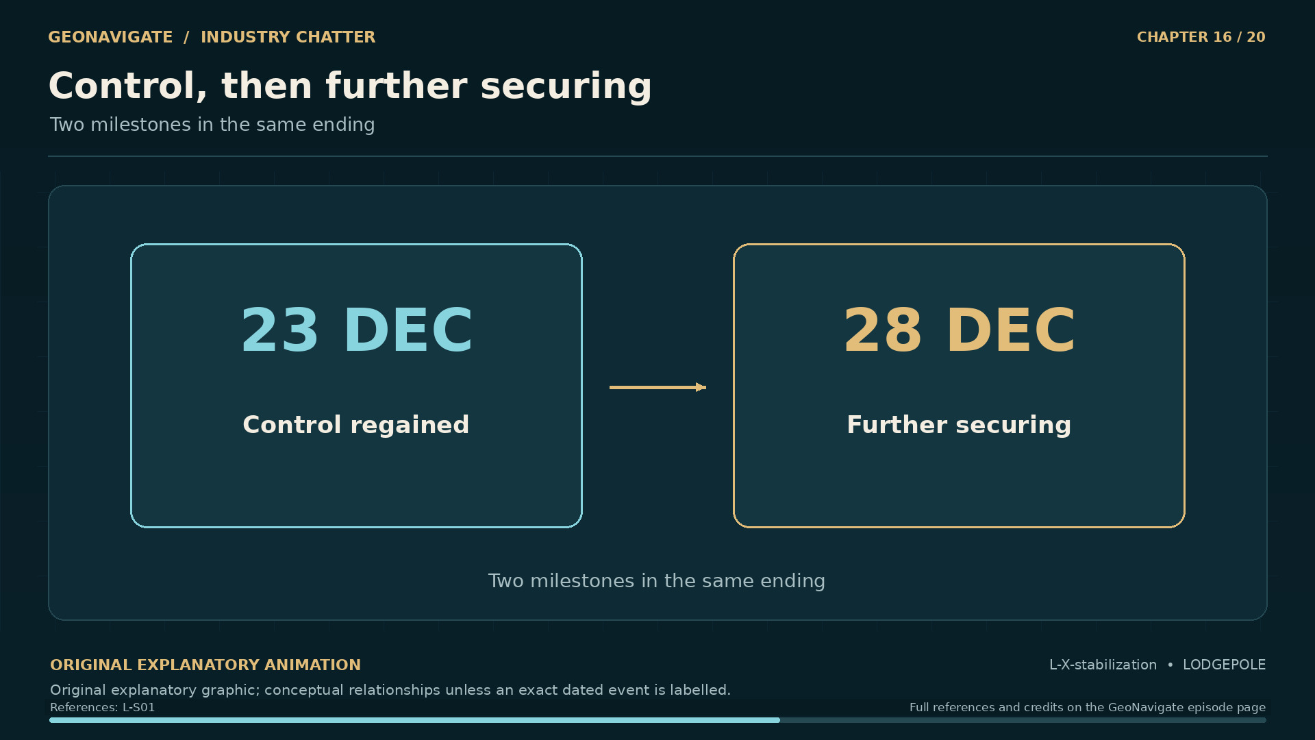
Control, then further securing. Two milestones in the same ending. Original conceptual illustration; cited sources provide the factual basis.
Original diagramTwo milestones in the same ending. Original conceptual illustration; cited sources provide the factual basis.Original GeoNavigate explanatory graphic, Chaser Geological, 2026. · Image record ↗ · Rights basis ↗

On December twenty-third, a replacement control assembly and weighted drilling fluid finally brought the well under control. The uncontrolled flow that had begun in October was stopped.

The achievement depended on recovering a connection through which the well could be managed, and establishing a pressure condition that could oppose the formation fluids. The surface hardware and the fluid served related purposes within that effort.

It helps to separate those purposes conceptually. A closed barrier can restrict a flow path. A column of fluid contributes pressure through its weight. In a controlled well, engineers have to consider both the physical boundaries and the pressure acting across them.

These concepts explain why the final effort involved more than putting a lid over an opening. The well extended into a pressured formation, and the condition of the whole connection mattered.

Further securing work followed. The inquiry records the installation of a packer on December twenty-eighth. A packer is a sealing device used within a well. That later step belongs after the date on which control was regained.

For the chronology, this gives us a clear ending to the period of uncontrolled flow. For the wider story, it begins another phase. Investigators could examine decisions and consequences after the immediate task of stopping the release had been achieved.

The people who had lived through those weeks still had questions about health, land, and the quality of the information they had received. The condition of the well could change on a particular day. Understanding the effects of the emergency required a different kind of work.

Chapter sources381261322

CHAPTER 17

What the health evidence can and cannot say

A measurement has a place and a time. Original abstract monitoring diagram; all locations and sample tokens illustrative
Original diagramOriginal abstract monitoring diagram; all locations and sample tokens illustrativeOriginal GeoNavigate explanatory animation, Chaser Geological, 2026. · Image record ↗ · Rights basis ↗
Drayton Valley Community Health Centre, May 2014. Contemporary community context only. Never present as 1982, as a depiction of affected individuals, or as evidence of specific historical health outcomes.
Modern photographDrayton Valley Community Health Centre, May 2014. Contemporary community context only. Never present as 1982, as a depiction of affected individuals, or as evidence of specific historical health outcomes.“Drayton Valley, Alberta, Canada” — Dean Lack / Rural Health Professions Action Plan, 8 May 2014, CC BY 2.0. Full photograph resized for presentation; no content edits. · CC BY 2.0 · Image record ↗ · Licence ↗ · Rights basis ↗
Three kinds of evidence. Original evidence-organization diagram; not a model of individual exposure
Original diagramOriginal evidence-organization diagram; not a model of individual exposureOriginal GeoNavigate explanatory animation, Chaser Geological, 2026. · Image record ↗ · Rights basis ↗
Mobile air-monitoring equipment. This inquiry image documents a mobile air-monitoring vehicle. It does not establish where and when every measurement was made, or any resident’s dose; the chapter examines how monitoring coverage, residents’ accounts, and medical interpretation answer different questions.
Historical imageThis inquiry image documents a mobile air-monitoring vehicle. It does not establish where and when every measurement was made, or any resident’s dose; the chapter examines how monitoring coverage, residents’ accounts, and medical interpretation answer different questions.Alberta Environment; Lodgepole Blowout Inquiry, Phase 1, ERCB D84-9 (1984), Appendix 6, p. A6-5 (PDF p. 271). Digitized by University of Alberta Libraries / Internet Archive. · Image record ↗ · Rights basis ↗
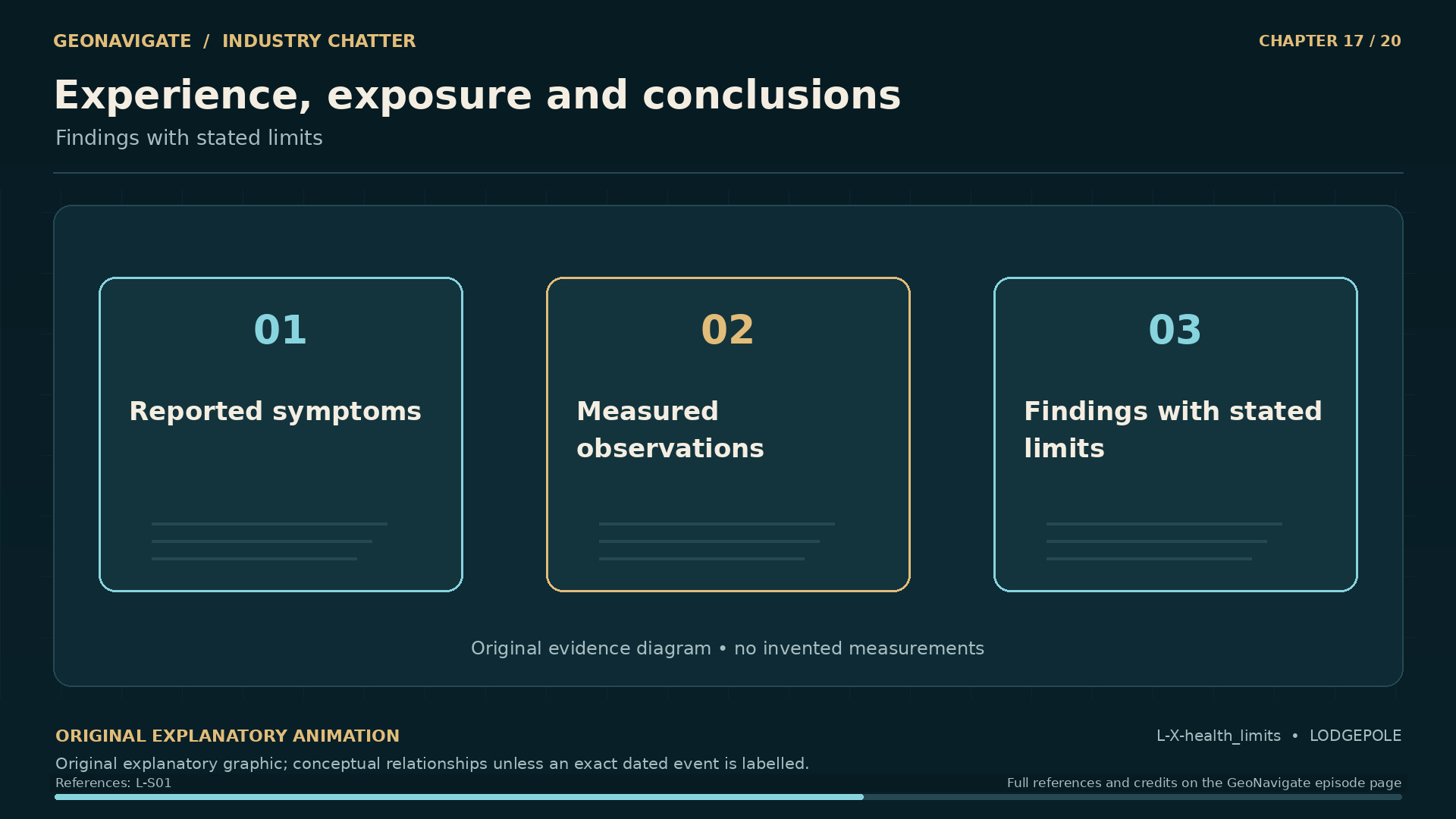
Experience, exposure and conclusions. Findings with stated limits. Original conceptual illustration; cited sources provide the factual basis.
Original diagramFindings with stated limits. Original conceptual illustration; cited sources provide the factual basis.Original GeoNavigate explanatory graphic, Chaser Geological, 2026. · Image record ↗ · Rights basis ↗
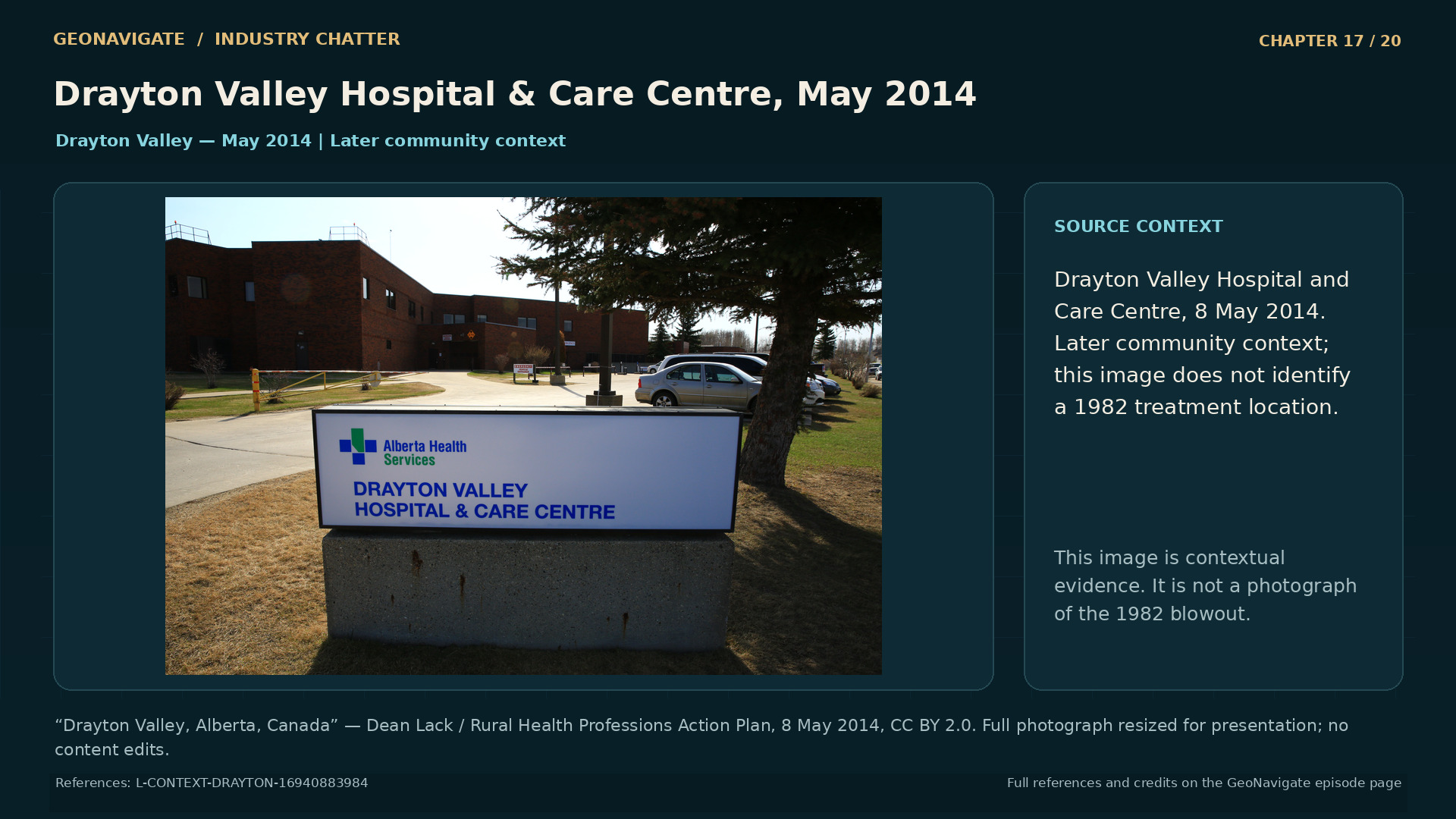
Drayton Valley Hospital & Care Centre, May 2014. Contemporary community context only. Never present as 1982, as a depiction of affected individuals, or as evidence of specific historical health outcomes.
Modern photographDrayton Valley Hospital & Care Centre, May 2014. Contemporary community context only. Never present as 1982, as a depiction of affected individuals, or as evidence of specific historical health outcomes.“Drayton Valley, Alberta, Canada” — Dean Lack / Rural Health Professions Action Plan, 8 May 2014, CC BY 2.0. Full photograph resized for presentation; no content edits. · CC BY 2.0 · Image record ↗ · Licence ↗ · Rights basis ↗

Residents reported symptoms during the blowout. The inquiry considered those accounts alongside the available monitoring and health information, and concluded that exposure to emissions was a probable cause of reported temporary health effects in the region. It also identified important gaps in the evidence.

That combination requires careful language. A reported experience is evidence about what a person experienced. A monitor contributes evidence about conditions where and when it measured. Medical interpretation asks how those observations fit possible causes.

These forms of evidence can strengthen one another. They can also leave questions unresolved when their locations, timing, or coverage do not align.

In epidemiology, comparison is central to assessing a possible relationship. Investigators consider how exposure and outcomes are defined, which groups can reasonably be compared, and what other differences might affect the result. An imperfect record can make those comparisons difficult.

This does not justify treating every reported effect as established proof of a particular dose or mechanism. It also does not justify treating an unmeasured exposure as an exposure that never happened. The uncertainty has to remain attached to the specific question it concerns.

For Lodgepole, the responsible account preserves both parts of the inquiry's conclusion: its assessment that emissions probably contributed to health effects, and its recognition that the available information limited what could be established.

We cannot turn that record into a new diagnosis for an individual, or a definite statement about every later illness. We can explain why timely, well documented information matters, and why residents' accounts needed a clear place in the investigation.

Chapter sources39119

CHAPTER 18

The ground after the flow stopped

Drayton Valley regional Landsat image, 24 January 1975. Pre-incident regional oilfield infrastructure. Not a picture of the 1982 blowout, and not a georeferenced blowout-site map.
Historical imageDrayton Valley regional Landsat image, 24 January 1975. Pre-incident regional oilfield infrastructure. Not a picture of the 1982 blowout, and not a georeferenced blowout-site map.USGS / Landsat 2, 24 January 1975. Public domain. · Image record ↗ · Rights basis ↗
Rotary Park, Drayton Valley, May 2014. Contemporary community context only. Never present as 1982, as a depiction of affected individuals, or as evidence of specific historical health outcomes.
Modern photographRotary Park, Drayton Valley, May 2014. Contemporary community context only. Never present as 1982, as a depiction of affected individuals, or as evidence of specific historical health outcomes.“Drayton Valley, Alberta, Canada” — Dean Lack / Rural Health Professions Action Plan, 8 May 2014, CC BY 2.0. Full photograph resized for presentation; no content edits. · CC BY 2.0 · Image record ↗ · Licence ↗ · Rights basis ↗
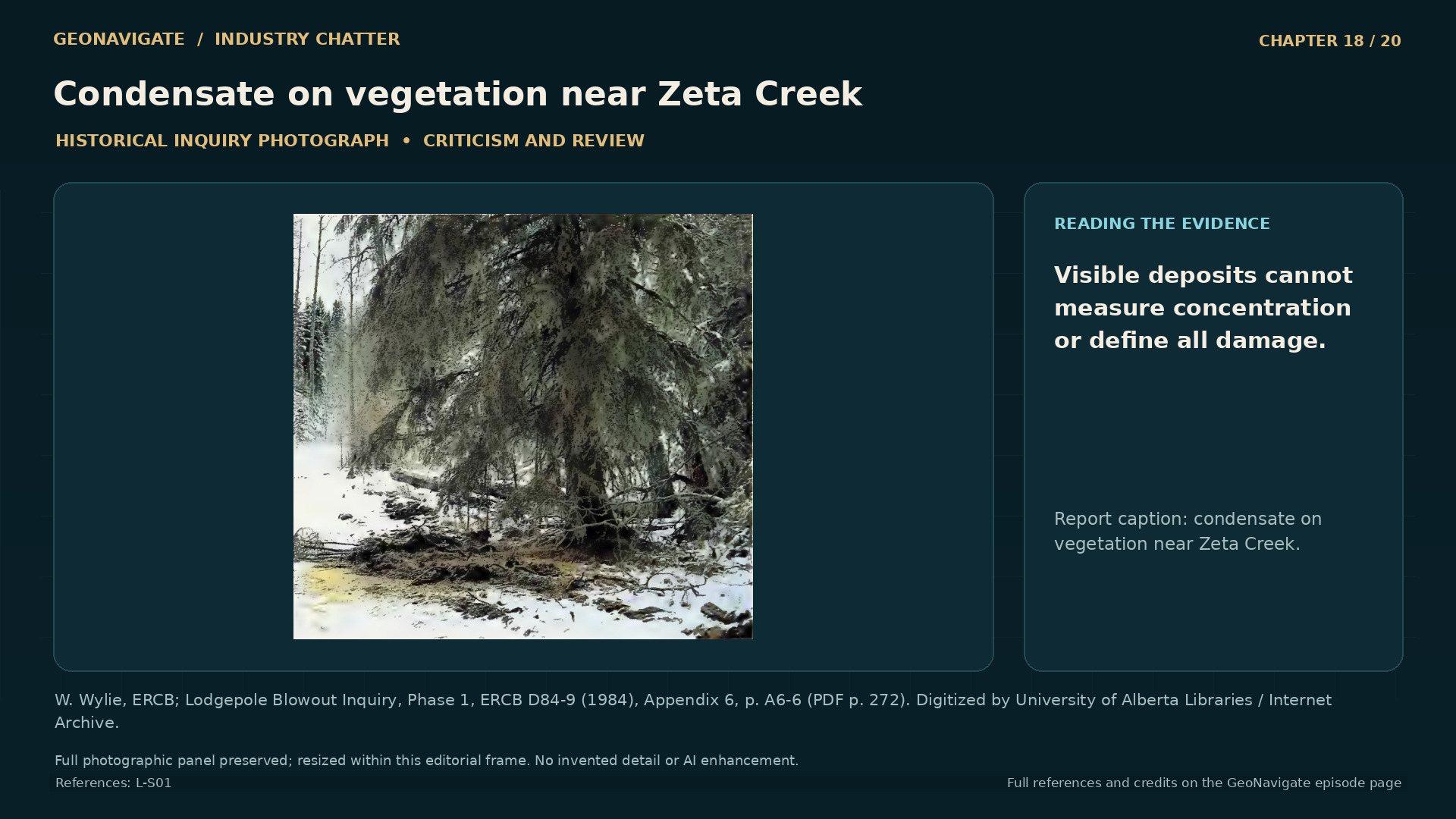
Condensate on vegetation near Zeta Creek. The source caption identifies condensate on a tree near Zeta Creek. This is visual evidence of a condition documented by the inquiry, but the photograph alone cannot quantify contamination, map its full extent, or establish the complete cause of every visible change.
Historical imageThe source caption identifies condensate on a tree near Zeta Creek. This is visual evidence of a condition documented by the inquiry, but the photograph alone cannot quantify contamination, map its full extent, or establish the complete cause of every visible change.W. Wylie, ERCB; Lodgepole Blowout Inquiry, Phase 1, ERCB D84-9 (1984), Appendix 6, p. A6-6 (PDF p. 272). Digitized by University of Alberta Libraries / Internet Archive. · Image record ↗ · Rights basis ↗
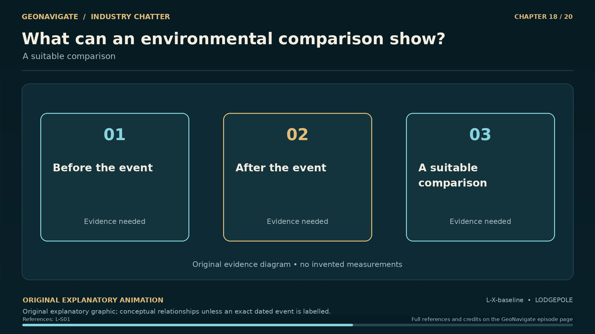
What can an environmental comparison show?. A suitable comparison. Original conceptual illustration; cited sources provide the factual basis.
Original diagramA suitable comparison. Original conceptual illustration; cited sources provide the factual basis.Original GeoNavigate explanatory graphic, Chaser Geological, 2026. · Image record ↗ · Rights basis ↗
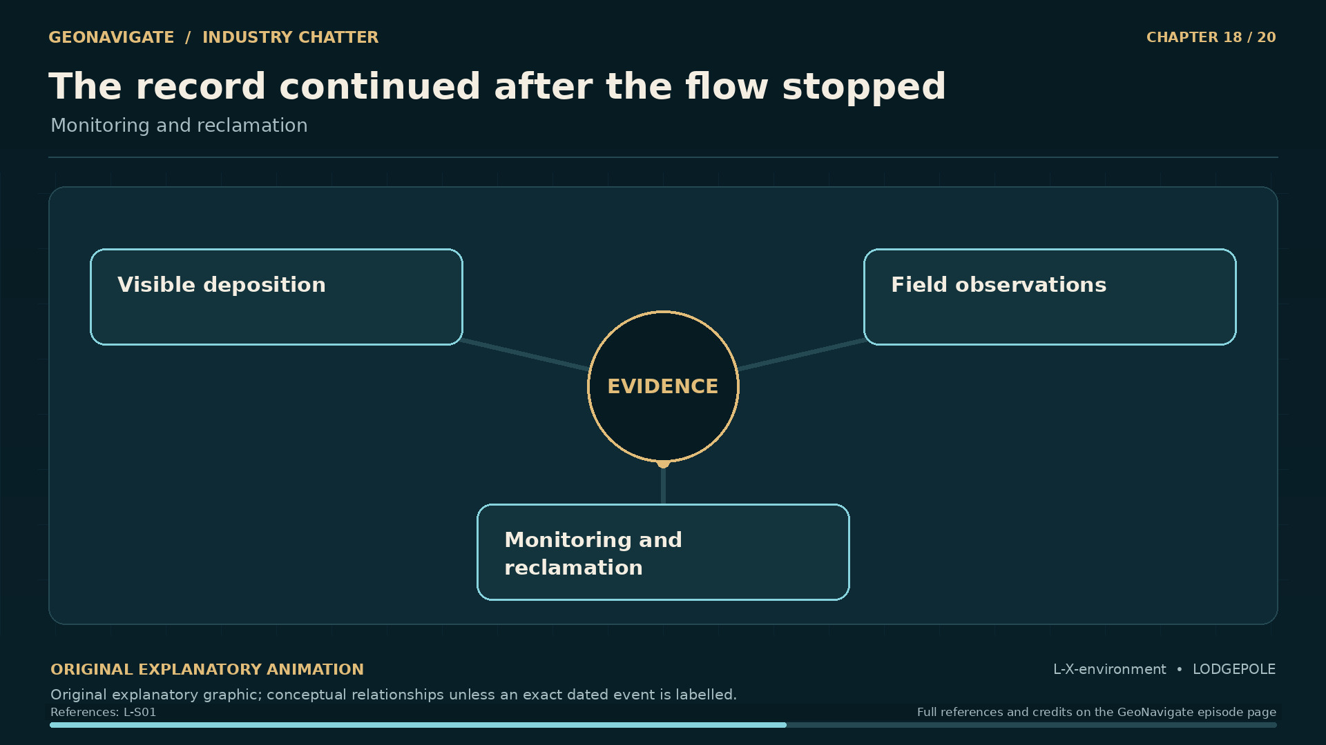
The record continued after the flow stopped. Monitoring and reclamation. Original conceptual illustration; cited sources provide the factual basis.
Original diagramMonitoring and reclamation. Original conceptual illustration; cited sources provide the factual basis.Original GeoNavigate explanatory graphic, Chaser Geological, 2026. · Image record ↗ · Rights basis ↗

The inquiry also examined damage to vegetation and soil near the well, along with questions about contamination and reclamation. The end of uncontrolled flow did not answer those questions by itself.

Environmental investigation has its own version of the problem we encountered with health evidence. What changed? Where did it change? What information exists about the condition before the event? And what other influences need to be considered?

A baseline provides a point of comparison. When a direct earlier measurement is unavailable, investigators may look for other ways to evaluate change. Those comparisons have to account for differences between locations and for changes over time.

The inquiry identified limitations in the information available for assessing some claims. It also recognized damage requiring attention. Holding those findings together is more informative than forcing every question into a single verdict about the landscape.

Photographs contribute another kind of evidence. They can show vegetation, surface disturbance, and the arrangement of a site at the time an image was made. They cannot, by themselves, measure a chemical concentration or establish the complete cause of every visible difference.

Even the date matters. A later aerial or satellite image belongs to the later investigation. It cannot be treated as a picture of the gas moving during the blowout.

The question of recovery also requires observations through time. A report written in the nineteen eighties records what was known then. It cannot tell us the present condition of every affected place.

For Lodgepole, the land remained part of the inquiry after the dramatic photographs of the flowing well had ended.

Chapter sources401

CHAPTER 19

An inquiry designed to change the next well

The inquiry found interacting failures. Original relationship diagram of the inquiry findings; not a single-cause reconstruction
Original diagramOriginal relationship diagram of the inquiry findings; not a single-cause reconstructionOriginal GeoNavigate explanatory animation, Chaser Geological, 2026. · Image record ↗ · Rights basis ↗
Three kinds of evidence. Original evidence-organization diagram; not a model of individual exposure
Original diagramOriginal evidence-organization diagram; not a model of individual exposureOriginal GeoNavigate explanatory animation, Chaser Geological, 2026. · Image record ↗ · Rights basis ↗
Two phases. A different publication order.. Original chronology of the 1984 inquiry reports; not current regulatory guidance
Original diagramOriginal chronology of the 1984 inquiry reports; not current regulatory guidanceOriginal GeoNavigate explanatory animation, Chaser Geological, 2026. · Image record ↗ · Rights basis ↗
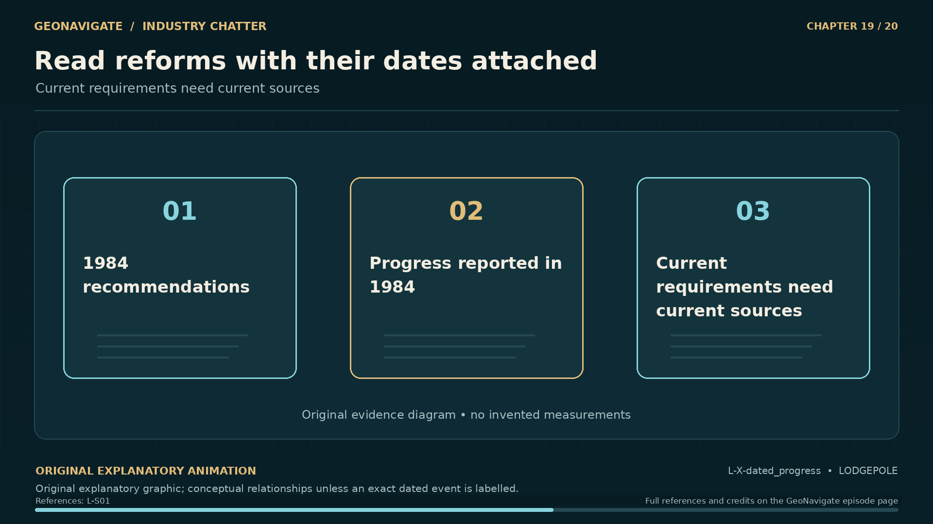
Read reforms with their dates attached. Current requirements need current sources. Original conceptual illustration; cited sources provide the factual basis.
Original diagramCurrent requirements need current sources. Original conceptual illustration; cited sources provide the factual basis.Original GeoNavigate explanatory graphic, Chaser Geological, 2026. · Image record ↗ · Rights basis ↗
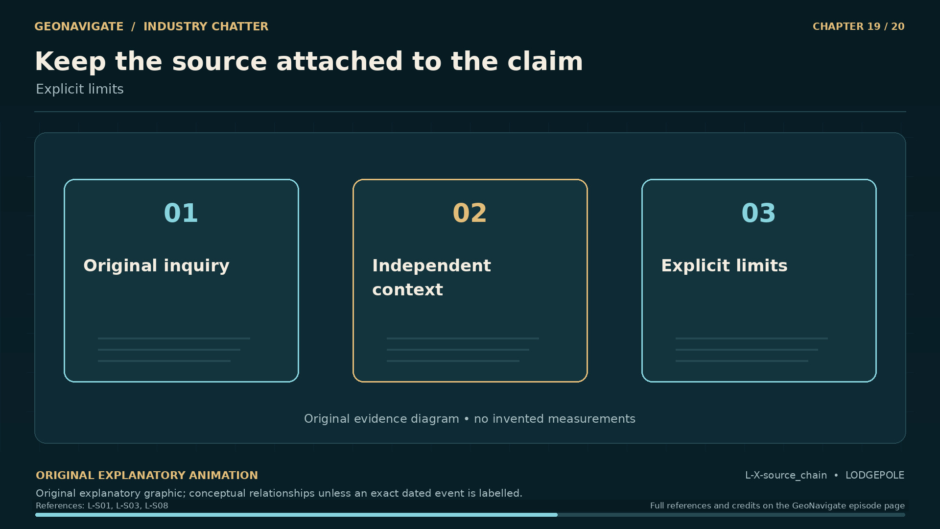
Keep the source attached to the claim. Explicit limits. Original conceptual illustration; cited sources provide the factual basis.
Original diagramExplicit limits. Original conceptual illustration; cited sources provide the factual basis.Original GeoNavigate explanatory graphic, Chaser Geological, 2026. · Image record ↗ · Rights basis ↗

The public inquiry had two related tasks. One examined the specific events at thirteen twelve. The other considered broader requirements for drilling sour wells and responding to emergencies.

The wider review was issued first, in April nineteen eighty-four. The detailed report on the blowout followed in December. That order matters. Work on changes did not have to wait for every part of the historical account to be completed.

The record describes attention to critical sour well requirements, licensing, inspection, training, and equipment. It also addresses coordination and communication with the public. Those areas connect the rock and machinery at the beginning of this story to the people beyond the lease.

A recommendation still needs a route into practice. Someone must be responsible for applying it. The result must be visible in a program, a decision, an inspection, or a response. Otherwise, the written lesson can remain separated from the circumstances it was intended to change.

Lodgepole also became part of a different institutional history. The Pembina Institute traces its origins to rural Albertans who organized after the blowout and formed the institute in nineteen eighty-four. That is the organization's own account of its beginnings.

The regulatory inquiry and the growth of community advocacy were different responses to the same emergency. One produced formal findings and recommendations. The other developed an ongoing organization concerned with energy and its consequences.

Together, they show how the effects of a well can extend beyond the period when it flows. A local event can change the questions people bring to later projects, and who expects to participate in asking them.

Chapter sources41123

CHAPTER 20

The lesson that remains in the record

Rock. Pressure. People. Evidence.. Public trust. Original conceptual illustration; cited sources provide the factual basis.
Original diagramPublic trust. Original conceptual illustration; cited sources provide the factual basis.Original GeoNavigate explanatory graphic, Chaser Geological, 2026. · Image record ↗ · Rights basis ↗
One well. Two different distances.. Original conceptual trajectory; not the surveyed 13-12 well
Original diagramOriginal conceptual trajectory; not the surveyed 13-12 wellOriginal GeoNavigate explanatory animation, Chaser Geological, 2026. · Image record ↗ · Rights basis ↗
Control, then further securing. Two milestones in the same ending. Original conceptual illustration; cited sources provide the factual basis.
Original diagramTwo milestones in the same ending. Original conceptual illustration; cited sources provide the factual basis.Original GeoNavigate explanatory graphic, Chaser Geological, 2026. · Image record ↗ · Rights basis ↗
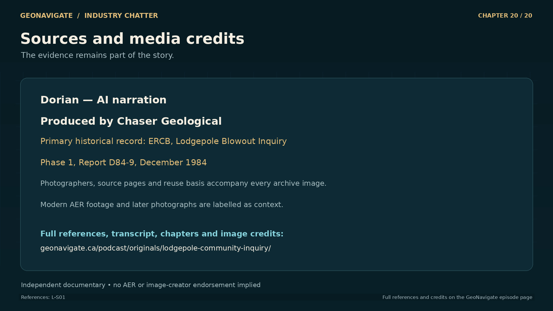
Sources and media credits. Historical evidence, original diagrams and clearly dated context. Original conceptual illustration; cited sources provide the factual basis.
Original diagramHistorical evidence, original diagrams and clearly dated context. Original conceptual illustration; cited sources provide the factual basis.Original GeoNavigate explanatory graphic, Chaser Geological, 2026. · Image record ↗ · Rights basis ↗

We began with a well location: thirteen twelve, near Lodgepole. By following its history, we have moved through several kinds of evidence.

An interpretation of a reef. A cylinder of recovered rock. Fluid returning from a well. Pressure readings whose reliability mattered. A damaged flow path. Attempts to regain control. Accounts from people living beyond the lease. Findings written after the emergency had ended.

Each made part of the situation visible. Understanding Lodgepole required bringing them into relationship without asking any one of them to answer more than it could.

The inquiry found weaknesses that belonged to a connected operation. Planning, supplies, equipment, observation, and decisions affected one another. The community's experience added another connection: between the information collected during an emergency and the people who needed to understand it.

Two men died. The well flowed out of control for sixty-seven days. Those facts give the story its gravity. The detail gives it its practical value.

A careful account keeps the dates separate, distinguishes extinguishing a fire from controlling a well, and preserves the difference between a finding and an allegation. It gives uncertainty a specific place, so that uncertainty cannot become an excuse for ignoring what the evidence does establish.

Lodgepole remains in the record because the consequences reached beyond one piece of equipment and one lease. The next well would begin with another interpretation of the rock. The responsibility was to carry what had been learned into everything built around that interpretation.

Thank you for listening to GeoNavigate Industry Chatter.

Chapter sources4212

THE VISUAL STORY

Episode visuals

Reconstructions and conceptual diagrams are identified in their captions.

THE MOVING IMAGE RECORD

Historical films to explore

Contemporary films, later documentaries and archive records are dated separately. These links open the original sources; reuse status is noted for each.

Contemporary context; not 1982

Core Research Centre, Calgary ↗

Undated contemporary AER media-library footage; not 1982. A short excerpt appears in the episode with an on-screen AER credit. It does not depict the Lodgepole emergency.

Alberta Energy Regulator Digital Library b-roll, used in documentary/editorial coverage under its published journalistic-use terms. No AER endorsement.

Contemporary context; not 1982

Mobile incident command ↗

Undated contemporary AER media-library footage; not 1982. A short excerpt appears in the episode with an on-screen AER credit. It does not depict the Lodgepole emergency.

Alberta Energy Regulator Digital Library b-roll, used in documentary/editorial coverage under its published journalistic-use terms. No AER endorsement.

Contemporary context; not 1982

Govier Hall public hearing facility, Calgary ↗

Undated contemporary AER media-library footage; not 1982. A short excerpt appears in the episode with an on-screen AER credit. It does not depict the Lodgepole emergency.

Alberta Energy Regulator Digital Library b-roll, used in documentary/editorial coverage under its published journalistic-use terms. No AER endorsement.

FOLLOW THE EVIDENCE

Sources & notes

  1. Lodgepole Blowout Inquiry: Report to the Lieutenant Governor in Council, Phase 1

    Energy Resources Conservation Board, Alberta 1984-12 contemporaneous public inquiry; principal factual source This copy does not contain the flow-rate addendum, despite the Internet Archive catalogue description. OCR contains broken characters and column order; verify image pages for critical figures, names and numeric values. The report is a historical finding, not a current operational, medical or emergency-response manual. Access to a scan does not itself settle reproduction rights for all photographs or contributed exhibits.

    L-S01
  2. A Witch's Brew of Methane, Hydrogen Sulphide, and Liquid Hydrocarbon Vapour

    Alberta Energy Regulator 2017-12-17 official retrospective excerpt from Steward Corroboration of 67-day duration, two deaths and official public framing; archive image lead. Its flow-rate estimates and H2S percentage require reconciliation with the separate final flow-rate addendum. Do not reuse its historical exposure-limit comparisons as current guidance. Avoid copying its colourful language or turning the visible plume into intrinsically coloured H2S.

    L-S02
  3. AU023.020S: Lodgepole blowout series, Martha Kostuch fonds

    Athabasca University Archives institutional archive finding aid Archive holdings, access and use conditions; community/inquiry documentary research lead. Historical summary conflicts with the primary inquiry on event and report dates. Do not repeat its statement that Martha Kostuch sat on the inquiry panel; verify her precise representative role against the inquiry participant list. The panel named in L-S01 PDF23 does not include her.

    L-S03
  4. NIOSH Pocket Guide to Chemical Hazards: Hydrogen sulfide

    CDC / National Institute for Occupational Safety and Health official chemical-hazard reference H2S is colourless; smell is not a reliable warning because the sense of smell rapidly fatigues. The film explains the historical hazard; do not turn this into a respirator-selection or live incident-response tutorial. Do not equate reservoir gas composition with an individual's ambient exposure.

    L-S04
  5. Dolomitization and Reservoir Quality of Nisku Pinnacles, West Pembina (abstract)

    A. M. C. Chow 1992 original research abstract lead Independent original-research context for Upper Devonian age and the relationship between dolomitization, dissolution, porosity and permeability. The 1992 regional abstract describes a population of pinnacles, not a measured model of the 13-12 reservoir. Do not apply its average geometry or specific dolomite distribution to that well without evidence.

    L-S08
  6. Energy Glossary: hydrostatic pressure

    SLB original technical glossary Independent technical basis for fluid-column pressure, density and true vertical depth; distinguish well-path length from vertical head. Use an original diagram and explanation; do not copy the company's illustration. No exact Lodgepole pressure calculation without the required historical input data.

    L-S12
  7. Energy Glossary: kick

    SLB original technical glossary Independent general definition of formation-fluid influx and differential pressure; static and transient mechanisms are conceptually distinct. A generic mechanism does not prove the exact causal sequence at Lodgepole. Keep this separate from L-S01 findings.

    L-S13
  8. Energy Glossary: core

    SLB original technical glossary Independent explanation of a hollow-centred core bit, core barrel and retained cylinder of rock. The modern glossary's tool options are not proof of the exact bit or hardware installed in 1982. Verify period equipment before depicting it.

    L-S14
  9. Porosity — Energy Glossary

    SLB primary technical or institutional reference Geology definition, paragraphs 1–2 Pore-space fraction; primary/secondary porosity; interconnected versus isolated pore volume. General definition; no measured values or mapped pore system for Lodgepole.

    L-ES01
  10. Permeability — Energy Glossary

    SLB primary technical or institutional reference Geology definition Ability of rock to transmit fluid; importance of pore connections. No 13-12 permeability or reservoir geometry is inferred from this glossary.

    L-ES02
  11. Annulus — Energy Glossary

    SLB primary technical or institutional reference Drilling and well-testing definitions Space around pipe inside a well; distinct from the internal pipe channel. Ignore the separate formation-evaluation meaning on the same page; conceptual geometry only.

    L-ES03
  12. Casing — Energy Glossary

    SLB primary technical or institutional reference Drilling and well-completions definitions Cemented pipe, support, formation isolation and connection to surface control equipment. No unverified casing diameter, cement condition or depth datum is assigned to 13-12.

    L-ES04
  13. Blowout preventer — Energy Glossary

    SLB primary technical or institutional reference Drilling definition and styles Surface valve/barrier function; some styles close a bore, others seal around tubular components. Does not prove which modern BOP types were installed at Lodgepole; no operating sequence is narrated.

    L-ES05
  14. Gas Pressure

    NASA Glenn Research Center primary technical or institutional reference Macro Scale Definition of Pressure Pressure force equals pressure times area for a uniform pressure acting normally to a surface. General mechanics, not a calculated force on the Lodgepole drill pipe.

    L-ES06
  15. The Defining Series: Drilling Fluid Basics

    SLB primary technical or institutional reference Basic Functions: Controlling formation pressures; Drilling Fluid Life Cycle Ordinary down-drillstring/up-annulus circulation; hydrostatic opposition to formation pressure; fluid properties change during use. No modern tooling, mud formulation, numerical pressure margin or procedure is transplanted to 1982.

    L-ES07
  16. Pipe ram — Energy Glossary

    SLB primary technical or institutional reference Drilling definition A pipe ram seals around the outside of suitable tubular components. The conclusion that this does not seal the pipe interior is elementary geometry; actual Lodgepole flow path comes from D84-9.

    L-ES08
  17. Degasser — Energy Glossary

    SLB primary technical or institutional reference Drilling definition Removal of air/gases from drilling liquids. Narration does not identify the historic degasser as a particular modern design or provide construction details.

    L-ES09
  18. Boyle’s Law

    NASA Glenn Research Center primary technical or institutional reference Opening explanation and ideal-gas relation Qualitative inverse pressure-volume relation for fixed gas quantity at constant temperature. Idealized teaching relationship, explicitly not an exact equation of state for Lodgepole reservoir fluids.

    L-ES10
  19. Designing and Conducting Analytic Studies in the Field

    US Centers for Disease Control and Prevention primary technical or institutional reference Observational Studies; Defining Exposure and Disease; Selection of Controls Exposure/outcome definitions, comparison groups and confounding considerations in observational investigation. 2024 methodology context; no claim that these exact methods were used at Lodgepole, and no new medical conclusion.

    L-ES11
  20. Understanding and Applying Risk Communication Principles

    US Centers for Disease Control and Prevention primary technical or institutional reference Principles on uncertainty, personally relevant communication, feedback and trusted messengers Explain known/unknown information, listen to affected people and keep information understandable. Modern interpretative framework, explicitly not a contemporaneous 1982 requirement or evidence about a particular resident.

    L-ES12
  21. RangeStar Well Intercept Service

    Halliburton primary technical or institutional reference Product explanation; Applications; Benefits Relative well positioning and interception where target-well access is unavailable; relief-well application. Supplier technical description; no promotional success rates or specifications used. Does not establish historic Lodgepole technology.

    L-ES13
  22. Packer — Energy Glossary

    SLB primary technical or institutional reference Drilling and well-completions definitions A sealing device deployed inside a well. Narration uses only broad function. The December 28 installation date is independently in D84-9.

    L-ES14
  23. Our Story

    Pembina Institute primary technical or institutional reference Opening history, especially 1984 formation statement The institute’s own account connects its 1984 formation to rural organizing after Lodgepole. Institutional self-history is attributed. Its broader characterizations of regulation, plume extent and causation are not adopted as independent findings.

    L-ES15
  24. Inquiry evidence for chapter 1: A well that became a public emergency
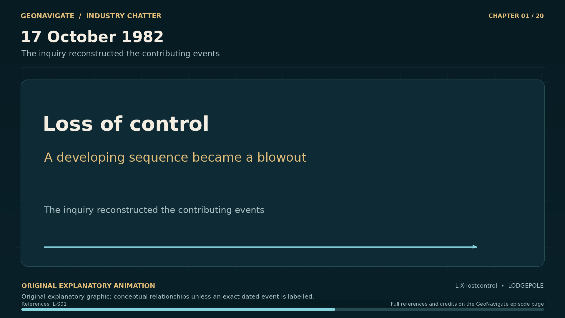
    Lodgepole Blowout Inquiry, Phase 1, December 1984, report D84-9. PDF pages 15, 23, 29, 47, 48, 104. Printed pages: 2-1, 1-1, 3-1, 3-19, 3-20, 6-18. PDF page numbers count the cover; the first relevant page opens in the linked scan. General technical explanations are separately referenced.

    L-CH01-REPORT
  25. Inquiry evidence for chapter 2: Two wells, five years apart

    Lodgepole Blowout Inquiry, Phase 1, December 1984, report D84-9. PDF pages 23, 173, 248. Printed pages: 2-1, 12-1, Phase 2 historical table. PDF page numbers count the cover; the first relevant page opens in the linked scan. General technical explanations are separately referenced.

    L-CH02-REPORT
  26. Inquiry evidence for chapter 3: The reef they expected

    Lodgepole Blowout Inquiry, Phase 1, December 1984, report D84-9. PDF pages 29. Printed pages: 3-1. PDF page numbers count the cover; the first relevant page opens in the linked scan. General technical explanations are separately referenced.

    L-CH03-REPORT
  27. Inquiry evidence for chapter 4: A surface choice changes the well path
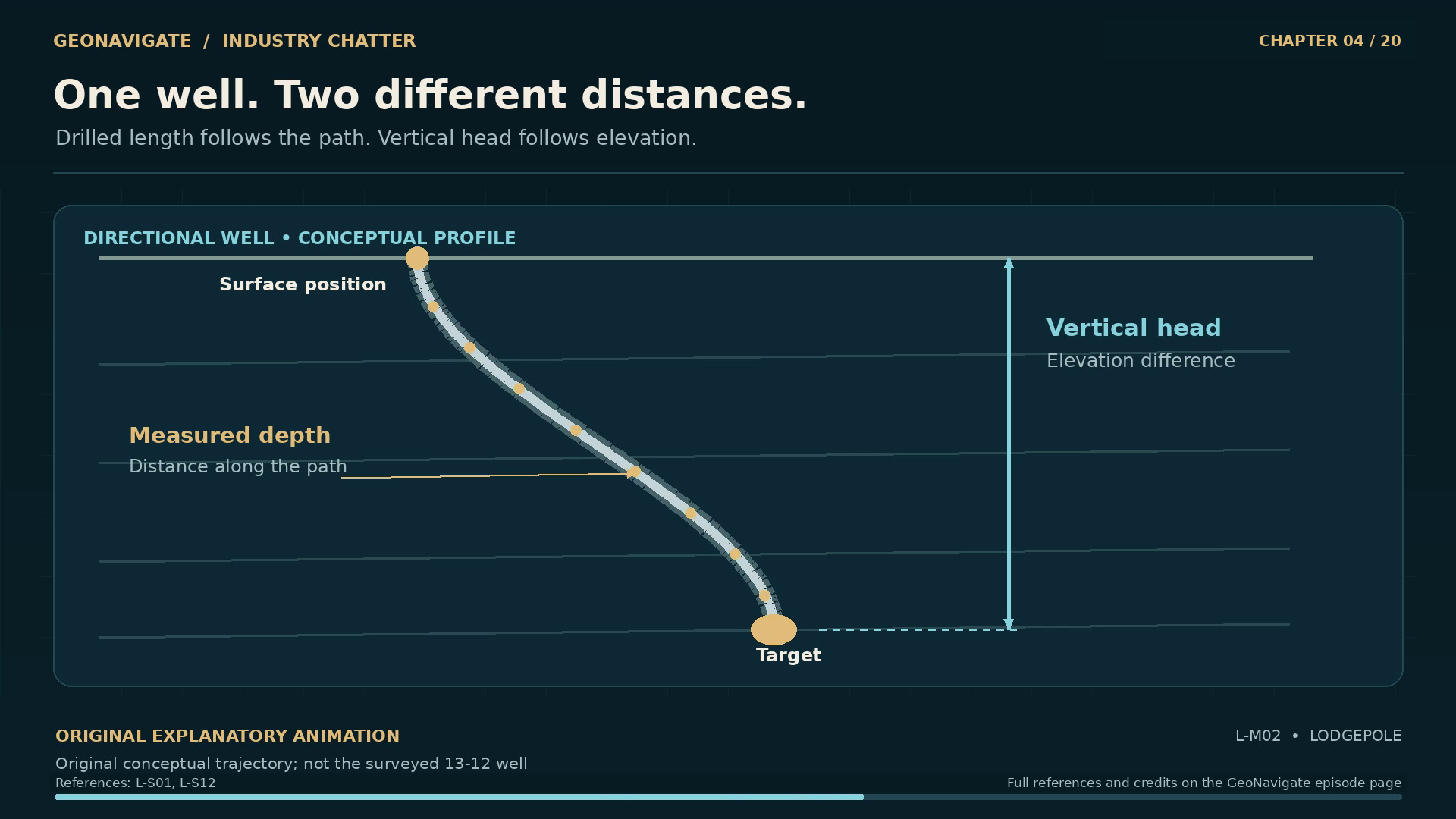
    Lodgepole Blowout Inquiry, Phase 1, December 1984, report D84-9. PDF pages 29. Printed pages: 3-1. PDF page numbers count the cover; the first relevant page opens in the linked scan. General technical explanations are separately referenced.

    L-CH04-REPORT
  28. Inquiry evidence for chapter 5: What came out in the core barrel

    Lodgepole Blowout Inquiry, Phase 1, December 1984, report D84-9. PDF pages 29. Printed pages: 3-1. PDF page numbers count the cover; the first relevant page opens in the linked scan. General technical explanations are separately referenced.

    L-CH05-REPORT
  29. Inquiry evidence for chapter 7: The warning that was difficult to read
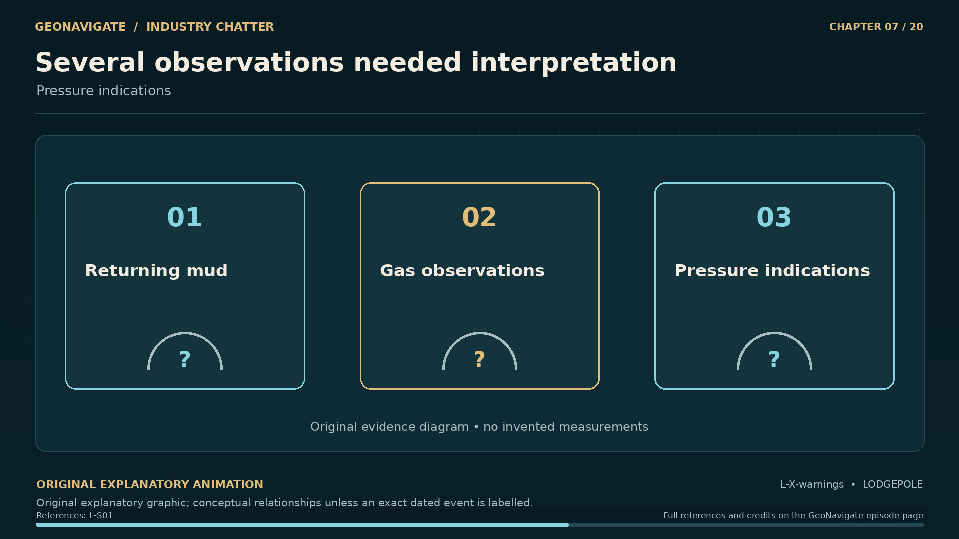
    Lodgepole Blowout Inquiry, Phase 1, December 1984, report D84-9. PDF pages 29, 47, 173. Printed pages: 3-1, 3-19, 12-1. PDF page numbers count the cover; the first relevant page opens in the linked scan. General technical explanations are separately referenced.

    L-CH07-REPORT
  30. Inquiry evidence for chapter 8: A chain of weakened barriers

    Lodgepole Blowout Inquiry, Phase 1, December 1984, report D84-9. PDF pages 47, 83, 84, 173. Printed pages: 5-29, 12-1, 3-19, 5-30. PDF page numbers count the cover; the first relevant page opens in the linked scan. General technical explanations are separately referenced.

    L-CH08-REPORT
  31. Inquiry evidence for chapter 9: The afternoon control was lost

    Lodgepole Blowout Inquiry, Phase 1, December 1984, report D84-9. PDF pages 15, 29, 47, 83, 173. Printed pages: 1-1, 3-1, 3-19, 5-29, 12-1. PDF page numbers count the cover; the first relevant page opens in the linked scan. General technical explanations are separately referenced.

    L-CH09-REPORT
  32. Inquiry evidence for chapter 10: The hazard people could not see

    Lodgepole Blowout Inquiry, Phase 1, December 1984, report D84-9. PDF pages 129, 130, 157, 177. Printed pages: 7-21, 7-22, 9-5, 12-5. PDF page numbers count the cover; the first relevant page opens in the linked scan. General technical explanations are separately referenced.

    L-CH10-REPORT
  33. Inquiry evidence for chapter 11: The community needs an answer

    Lodgepole Blowout Inquiry, Phase 1, December 1984, report D84-9. PDF pages 129, 130, 157, 177. Printed pages: 7-21, 7-22, 9-5, 12-5. PDF page numbers count the cover; the first relevant page opens in the linked scan. General technical explanations are separately referenced.

    L-CH11-REPORT
  34. Inquiry evidence for chapter 12: Plan B and the first fire

    Lodgepole Blowout Inquiry, Phase 1, December 1984, report D84-9. PDF pages 48, 129, 130. Printed pages: 3-20, 7-21, 7-22. PDF page numbers count the cover; the first relevant page opens in the linked scan. General technical explanations are separately referenced.

    L-CH12-REPORT
  35. Inquiry evidence for chapter 13: The cost of the capping attempt

    Lodgepole Blowout Inquiry, Phase 1, December 1984, report D84-9. PDF pages 48, 104, 105. Printed pages: 3-20, 6-18, 6-19. PDF page numbers count the cover; the first relevant page opens in the linked scan. General technical explanations are separately referenced.

    L-CH13-REPORT
  36. Inquiry evidence for chapter 14: A second fire, a changed problem

    Lodgepole Blowout Inquiry, Phase 1, December 1984, report D84-9. PDF pages 48, 105, 129, 130. Printed pages: 3-20, 6-19, 7-21, 7-22. PDF page numbers count the cover; the first relevant page opens in the linked scan. General technical explanations are separately referenced.

    L-CH14-REPORT
  37. Inquiry evidence for chapter 15: The relief well that was not the ending
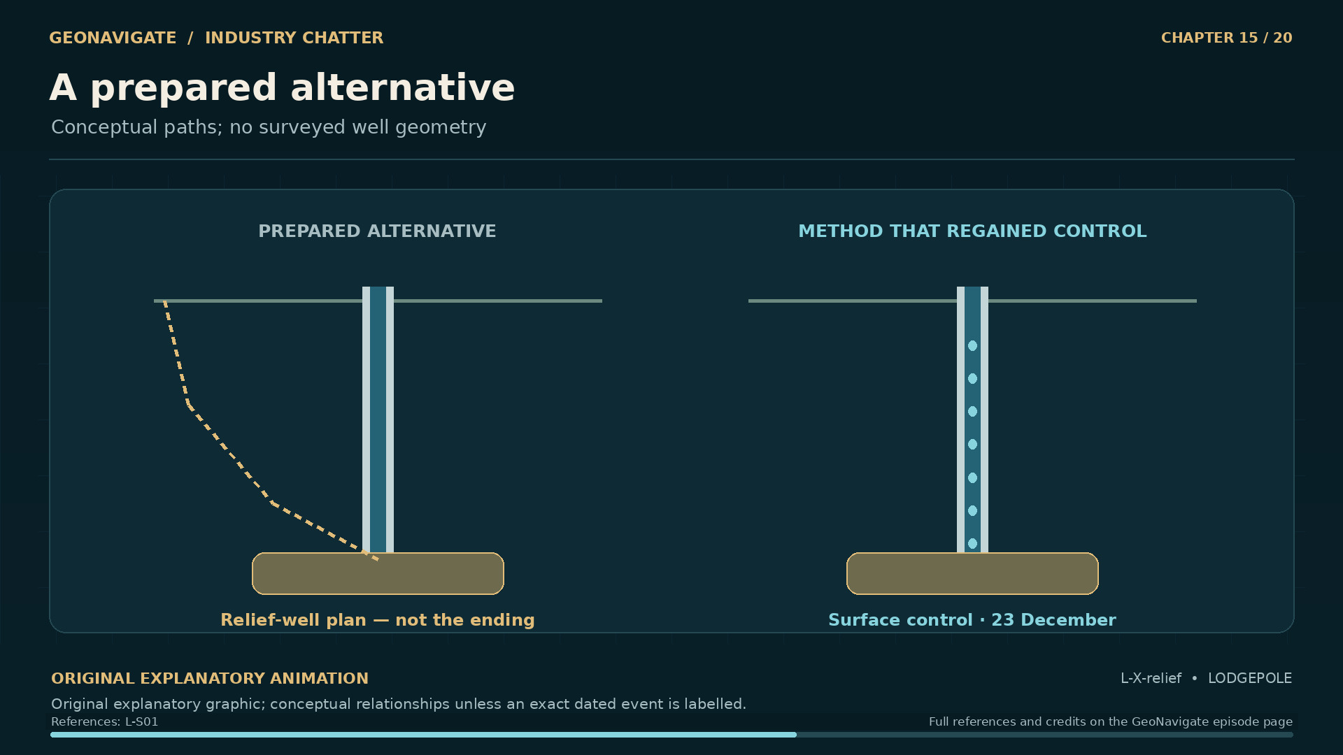
    Lodgepole Blowout Inquiry, Phase 1, December 1984, report D84-9. PDF pages 48, 103, 105. Printed pages: 3-20, 6-17, 6-19. PDF page numbers count the cover; the first relevant page opens in the linked scan. General technical explanations are separately referenced.

    L-CH15-REPORT
  38. Inquiry evidence for chapter 16: December twenty-third: control, then stabilization
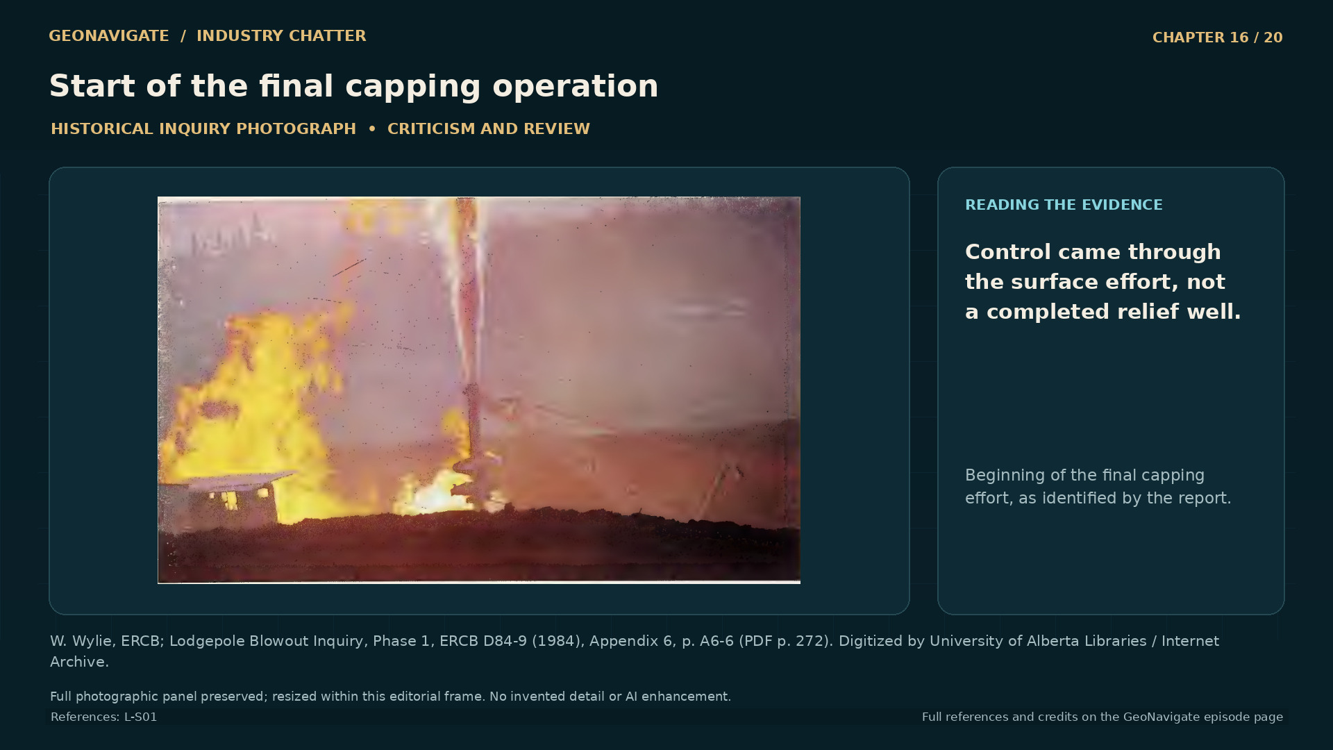
    Lodgepole Blowout Inquiry, Phase 1, December 1984, report D84-9. PDF pages 15, 23, 48. Printed pages: 1-1, 2-1, 3-20. PDF page numbers count the cover; the first relevant page opens in the linked scan. General technical explanations are separately referenced.

    L-CH16-REPORT
  39. Inquiry evidence for chapter 17: What the health evidence can and cannot say
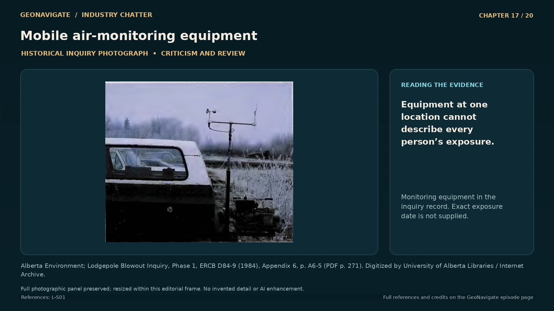
    Lodgepole Blowout Inquiry, Phase 1, December 1984, report D84-9. PDF pages 109, 129, 130. Printed pages: 7-1, 7-21, 7-22. PDF page numbers count the cover; the first relevant page opens in the linked scan. General technical explanations are separately referenced.

    L-CH17-REPORT
  40. Inquiry evidence for chapter 18: The ground after the flow stopped

    Lodgepole Blowout Inquiry, Phase 1, December 1984, report D84-9. PDF pages 149, 150, 269, 270, 271, 272, 273. Printed pages: 8-18, 8-17, A6-3, A6-4, A6-5, A6-6, A6-7. PDF page numbers count the cover; the first relevant page opens in the linked scan. General technical explanations are separately referenced.

    L-CH18-REPORT
  41. Inquiry evidence for chapter 19: An inquiry designed to change the next well
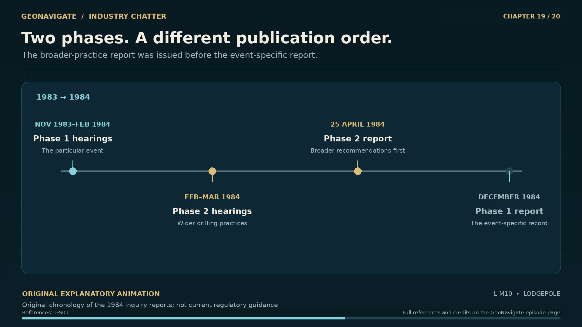
    Lodgepole Blowout Inquiry, Phase 1, December 1984, report D84-9. PDF pages 23, 24, 157, 177, 189, 190. Printed pages: 9-5, 12-5, 2-1, 2-2, 14-1, 14-2. PDF page numbers count the cover; the first relevant page opens in the linked scan. General technical explanations are separately referenced.

    L-CH19-REPORT
  42. Inquiry evidence for chapter 20: The lesson that remains in the record

    Lodgepole Blowout Inquiry, Phase 1, December 1984, report D84-9. PDF pages 15, 23, 48, 83, 104, 109, 129, 130, 157, 173, 177, 189, 190. Printed pages: 1-1, 2-1, 5-29, 12-1, 3-20, 6-18, 7-1, 7-21, 7-22, 9-5, 12-5, 14-1, 14-2. PDF page numbers count the cover; the first relevant page opens in the linked scan. General technical explanations are separately referenced.

    L-CH20-REPORT
  43. Alberta Energy Regulator — Digital Library footage and reuse terms

    The three AER excerpts show contemporary institutional context: the Core Research Centre, Mobile Incident Command and Govier Hall. They are not recordings of the 1982 blowout. AER permits its listed b-roll for journalistic practice with source credit, subject to its Copyright and Disclaimer. This independent documentary is not affiliated with or endorsed by the AER.

    L-RIGHTS-AER
  44. Alberta Energy Regulator — Copyright and Disclaimer

    AER source credit and non-endorsement conditions apply. The Digital Library b-roll permission does not establish a blanket licence for third-party photographs reproduced in the historical inquiry report.

    L-RIGHTS-AER-TERMS
  45. Copyright Act, section 29.1 — Criticism or review

    Eight inquiry photographs are reproduced once each in the film as limited evidence for specific criticism and review, with source and credited photographer. The article keeps each photograph inside its evidence panel and commentary. This is a documented fair-dealing assessment, not a claim of public-domain status, a Creative Commons licence or individual permission from every rights holder. The original report remains linked for the complete archive.

    L-RIGHTS-REVIEW
  46. Drayton Valley regional Landsat image, 24 January 1975

    USGS / Landsat 2, 24 January 1975. Public domain. Pre-incident regional oilfield infrastructure. Not a picture of the 1982 blowout, and not a georeferenced blowout-site map.

    L-CONTEXT-USGS-1975
  47. Drayton Valley Community Health Centre, May 2014

    “Drayton Valley, Alberta, Canada” — Dean Lack / Rural Health Professions Action Plan, 8 May 2014, CC BY 2.0. Full photograph resized for presentation; no content edits. Contemporary community context only. Never present as 1982, as a depiction of affected individuals, or as evidence of specific historical health outcomes.

    L-CONTEXT-DRAYTON-17537078426
  48. Drayton Valley Hospital & Care Centre, May 2014

    “Drayton Valley, Alberta, Canada” — Dean Lack / Rural Health Professions Action Plan, 8 May 2014, CC BY 2.0. Full photograph resized for presentation; no content edits. Contemporary community context only. Never present as 1982, as a depiction of affected individuals, or as evidence of specific historical health outcomes.

    L-CONTEXT-DRAYTON-16940883984
  49. Rotary Park, Drayton Valley, May 2014

    “Drayton Valley, Alberta, Canada” — Dean Lack / Rural Health Professions Action Plan, 8 May 2014, CC BY 2.0. Full photograph resized for presentation; no content edits. Contemporary community context only. Never present as 1982, as a depiction of affected individuals, or as evidence of specific historical health outcomes.

    L-CONTEXT-DRAYTON-17377119509